Langtang Hike Nepal: What This Trek Actually Involves
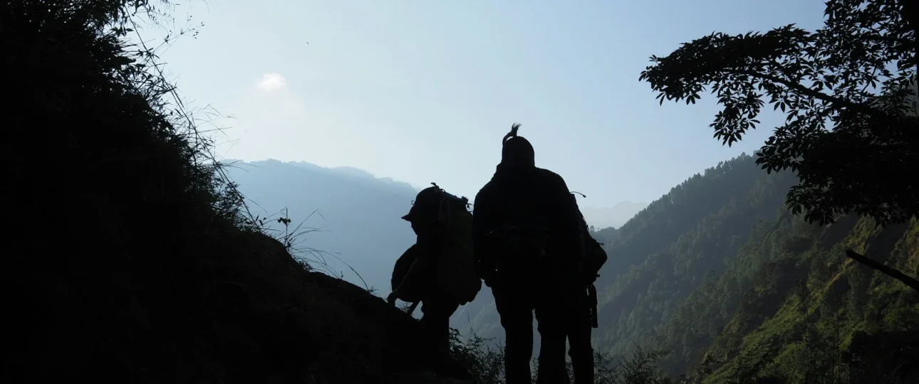
The Langtang hike Nepal experience is often misunderstood by first-time visitors. When most people search for “Langtang hike Nepal,” they’re actually asking about the Langtang Valley Trek—a multi-day Himalayan journey through Langtang National Park that takes you from subtropical forests to glacial valleys in just four days of walking.
The Langtang hike Nepal route is an out-and-back trail covering approximately 51–54 km round trip from Syabrubesi to Kyanjin Gompa. It follows the Langtang Khola river north through one of Nepal’s most accessible high-altitude valleys, offering views of Langtang Lirung (7,234m) and surrounding peaks without the extreme altitudes of Everest or Annapurna.
Key distinction: The Langtang hike Nepal is not a day hike. It’s a proper multi-day trek requiring 6–7 days minimum. If you’re looking for a single-day experience, the Langtang Valley is not suitable—you need to allocate at least a week from Kathmandu.
Where Is the Langtang Hike Nepal Located?
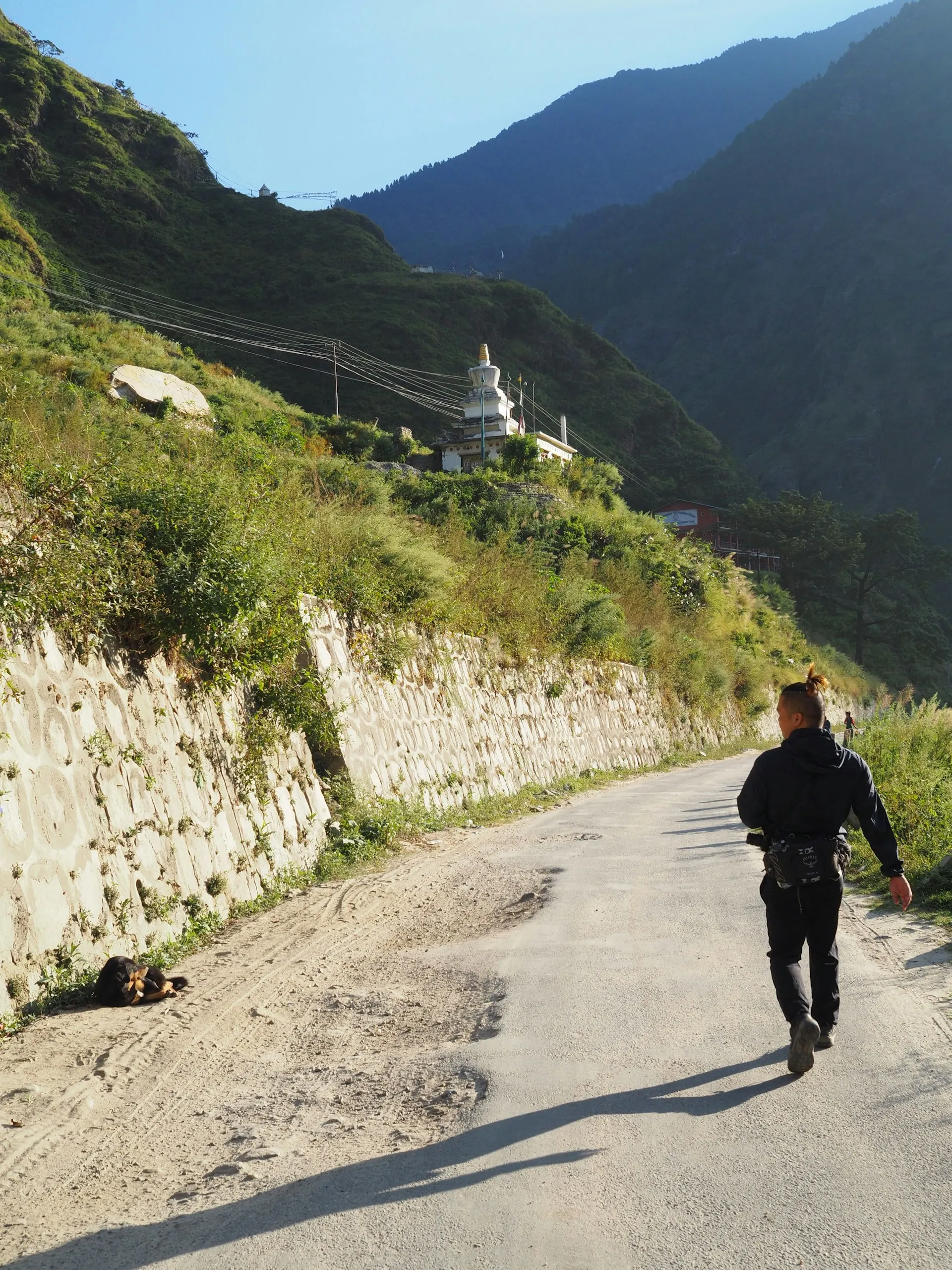
The Langtang hike Nepal route sits in the Langtang National Park, approximately 120 km north of Kathmandu in the Rasuwa district of Bagmati Province. The trek begins in Syabrubesi, a small town near the Tibet border region, and follows the Langtang Khola northward into the high Himalayan valley.
Geographic context: Langtang lies closer to Kathmandu than any other major Himalayan trekking region. While Everest Base Camp requires a flight to Lukla and Annapurna requires a long bus journey to Pokhara, the Langtang trailhead at Syabrubesi is reachable by road in a single day from Kathmandu.
Map orientation: The valley runs south-to-north. Langtang Lirung dominates the western skyline, while the eastern side features steep forested ridges. The trail stays close to the river for most of the journey, making navigation straightforward.
Langtang Hike Nepal Route: Complete Village-by-Village Breakdown
Syabrubesi (1,503m) — Starting Point
The Langtang hike Nepal begins in Syabrubesi, the administrative center for this section of Rasuwa district. This town sits at the confluence of the Bhote Koshi and Langtang Khola rivers, marking the lowest point on your trek.
What happens here: Most trekkers arrive by bus or jeep from Kathmandu in the late afternoon, overnight in a tea house, and begin walking early the next morning. The town has basic amenities—small shops, tea houses, and the last reliable mobile phone service until Kyanjin Gompa.
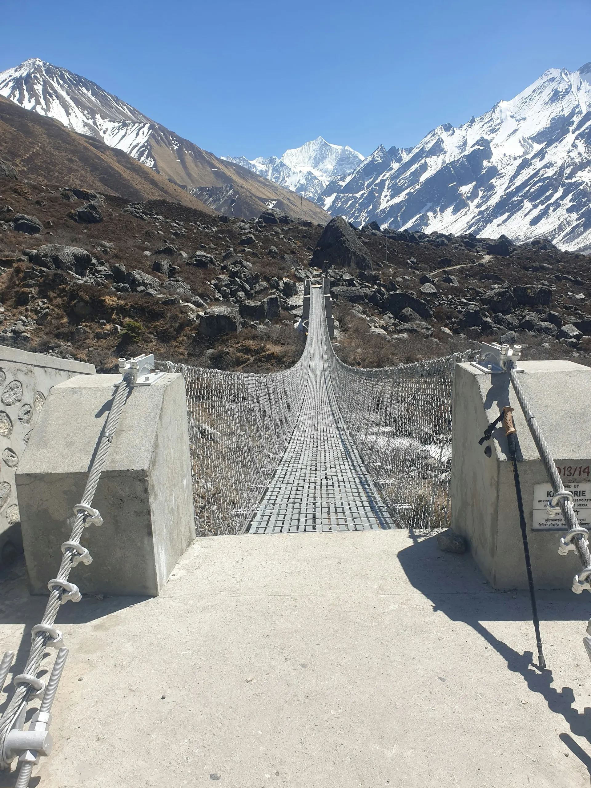
Map reading tip: From Syabrubesi, the trail heads north, crossing the Bhote Koshi on a suspension bridge within the first 30 minutes. The river should be on your right as you walk upstream.
Lama Hotel / Riverside (2,380m) — Day 1 Destination
The Langtang hike Nepal route reaches Lama Hotel after 5–6 hours of steep climbing through bamboo and oak forest. This small collection of tea houses is also called “Riverside”—the names are interchangeable for practical purposes.
What the map doesn’t show: The first 2–3 hours from Syabrubesi involve approximately 600m of elevation gain. This is the hardest climbing section of the entire trek. The trail then undulates through forest with several stream crossings before reaching the tea houses at Lama Hotel.
Accommodation reality: Rooms are basic. Expect shared bathrooms, thin walls, and communal dining areas heated by wood stoves. This is authentic tea house trekking—comfortable enough, but not luxurious.
Ghoda Tabela (3,030m) — Day 2 Destination
The Langtang hike Nepal trail continues from Lama Hotel through mixed forest that gradually transitions to rhododendron and pine. After 5–6 hours, you reach Ghoda Tabela, which translates to “horse stable.”
Significance on the map: This marks the transition from dense forest to open valley. Above Ghoda Tabela, the landscape changes dramatically—trees thin out, yak pastures appear, and you get your first clear views of Langtang Lirung.
National Park checkpoint: A Nepal Army post here verifies your Langtang National Park permit. Keep your permit accessible—you’ll need to show it multiple times along the route.
Thangsyap (3,140m) — Lunch Stop
The Langtang hike Nepal map shows Thangsyap as a minor settlement approximately 1–2 hours after Ghoda Tabela. Most trekkers use this as a lunch stop rather than an overnight destination.
Why it matters: Thangsyap confirms you’re on the right track. If you reach this point, you’re roughly halfway between Ghoda Tabela and Langtang Village. The trail continues climbing steadily, with the valley widening around every bend.
Langtang Village (3,430m) — Day 3 Destination
The Langtang hike Nepal route reaches Langtang Village after 4–5 hours from Ghoda Tabela. This is the main settlement in the valley and a significant emotional milestone for many trekkers.
Recent history: The original village was completely destroyed in the 2015 earthquake-triggered avalanche that killed over 170 people in the valley. The current settlement is a complete rebuild, sitting slightly higher on the valley wall. New stone buildings, tea houses, and a memorial site mark this resilient community.
What you’ll experience: The valley opens dramatically here. Yak pastures stretch toward the peaks, prayer flags flutter against the mountains, and Langtang Lirung towers overhead. This is where the trek becomes genuinely spectacular.
Mundu (3,550m) — Worth Noting
The Langtang hike Nepal route passes directly through Mundu, just 20–30 minutes beyond Langtang Village. Many maps show this as a separate destination, but it’s effectively an extension of Langtang Village.
Practical value: If Langtang Village tea houses are full, Mundu offers quieter alternatives with equally good views. The trail between the two settlements is nearly flat, making it an easy extension if needed.
Kyanjin Gompa (3,870m) — The Destination
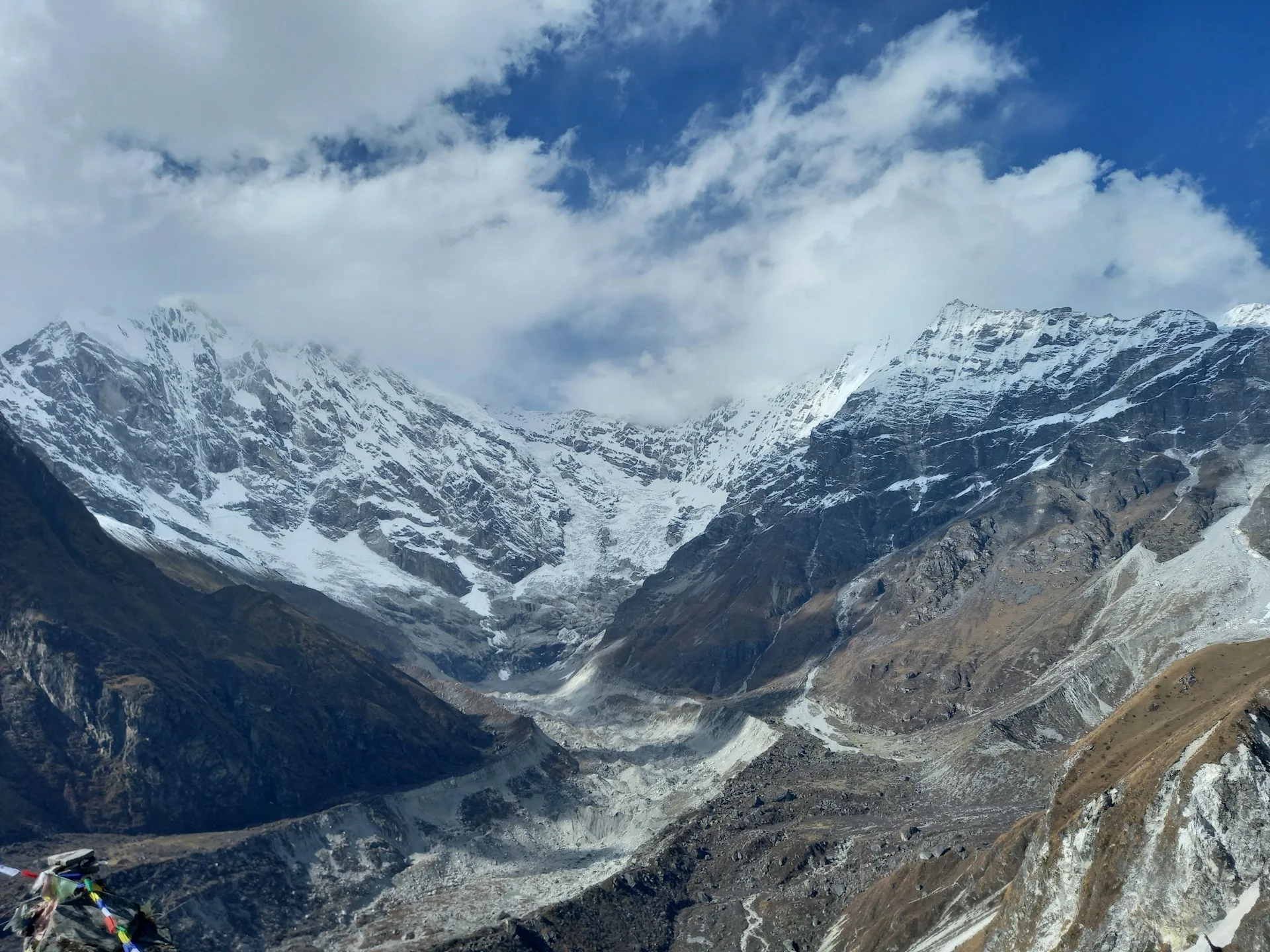
The Langtang hike Nepal reaches its culmination at Kyanjin Gompa, a monastery settlement in a glacial bowl surrounded by peaks. Langtang Lirung (7,234m) dominates the western skyline, Dorje Lakpa (6,966m) rises to the east, and Gangchempo (6,387m) guards the southern approach.
Why it’s special: This is the traditional endpoint of the Langtang Valley Trek. The monastery, the yak pastures, the glacier views, and the surrounding peaks create one of Nepal’s most photogenic high-altitude settings.
Side trip base: From Kyanjin Gompa, three optional routes branch out:
-
Kyanjin Ri (4,773m) — southwest viewpoint
-
Tserko Ri (4,984m) — eastern viewpoint, higher and harder
-
Langshisa Kharka (4,100m) — northern valley extension
Accommodation note: Kyanjin Gompa has multiple tea houses, a small bakery (reopened post-2015), and the monastery itself. Most trekkers spend two nights here to allow time for at least one viewpoint climb.
Langtang Hike Nepal Distance: Complete Breakdown
The Langtang hike Nepal distance varies depending on what you include. Here’s the clear breakdown:
Core Route Distances
| Section | From | To | Distance | Walking Time |
|---|---|---|---|---|
| Day 1 | Syabrubesi | Lama Hotel | 9–10 km | 5–6 hours |
| Day 2 | Lama Hotel | Ghoda Tabela | 8–9 km | 5–6 hours |
| Day 3 | Ghoda Tabela | Langtang Village | 7–8 km | 4–5 hours |
| Day 4 | Langtang Village | Kyanjin Gompa | 5–6 km | 2–3 hours |
| Day 6 | Kyanjin Gompa | Lama Hotel | 20–22 km | 7–9 hours |
| Day 7 | Lama Hotel | Syabrubesi | 9–10 km | 4–5 hours |
| Total | Round trip | 51–54 km | 27–34 hours |
With Side Trips
| Side Trip | Round Trip Distance | Additional Time |
|---|---|---|
| Kyanjin Ri | 7–8 km | 4–6 hours |
| Tserko Ri | 9–10 km | 6–8 hours |
| Langshisa Kharka | 12–14 km | 6–8 hours |
Total with one viewpoint: 58–64 km
Total with both viewpoints: 65–70 km
Why Published Distances Differ
The Langtang hike Nepal distance you see on different websites varies because:
GPS vs. map measurement: GPS devices record every switchback and detour, producing distances 10–15% higher than straight-line map measurements.
Side trip inclusion: Some sources include Kyanjin Ri or Tserko Ri as part of the main route, inflating totals by 7–10 km.
Starting point variation: Some itineraries begin from Dhunche rather than Syabrubesi, adding 15–18 km.
The practical number: For fitness planning, expect to walk approximately 60 km total if you climb one viewpoint. This represents what most trekkers actually cover.
Langtang Hike Nepal Elevation: Understanding the Altitude Profile
The Langtang hike Nepal elevation profile is one of its most attractive features—you reach high altitude without extreme heights. Here’s the complete breakdown:
Key Elevations
| Location | Elevation | Notes |
|---|---|---|
| Syabrubesi | 1,503m | Trailhead, lowest point |
| Lama Hotel | 2,380m | First night stop |
| Ghoda Tabela | 3,030m | Park checkpoint |
| Thangsyap | 3,140m | Lunch stop |
| Langtang Village | 3,430m | Main settlement |
| Mundu | 3,550m | Extension of Langtang Village |
| Kyanjin Gompa | 3,870m | Highest sleeping elevation |
| Kyanjin Ri | 4,773m | Optional viewpoint |
| Tserko Ri | 4,984m | Highest trekking point |
Daily Elevation Gain
| Day | Route | Net Gain | Cumulative Gain |
|---|---|---|---|
| Day 1 | Syabrubesi to Lama Hotel | 877m | ~1,000m |
| Day 2 | Lama Hotel to Ghoda Tabela | 650m | ~750m |
| Day 3 | Ghoda Tabela to Langtang Village | 400m | ~450m |
| Day 4 | Langtang Village to Kyanjin Gompa | 440m | ~450m |
| Day 5 (optional) | Kyanjin Gompa to Kyanjin Ri | 903m | ~900m |
| Day 5 (optional) | Kyanjin Gompa to Tserko Ri | 1,114m | ~1,100m |
Total net gain: 2,367m from Syabrubesi to Kyanjin Gompa
Total cumulative gain: 3,000–3,400m accounting for all ups and downs
Why Elevation Matters More Than Distance
The Langtang hike Nepal elevation profile matters more than the raw distance because altitude affects your body in ways that distance alone doesn’t. At 3,870m, the air contains roughly 62% of the oxygen available at sea level. At Tserko Ri (4,984m), that drops to approximately 55%.
Practical implications: A 5 km day at 4,000m feels harder than a 10 km day at 2,000m. The Langtang hike Nepal itinerary is designed to allow gradual acclimatization, with only 400–650m of net elevation gain per day after the initial push.
Langtang Hike Nepal Difficulty: Honest Assessment
The Langtang hike Nepal difficulty rating is moderate. This classification reflects a trek that requires good fitness but no technical skills.
What Makes It Moderate
Terrain factors:
-
Well-defined trail throughout
-
No glacier crossings or technical sections
-
Some steep sections (especially Day 1) but nothing requiring special equipment
-
Stone steps and rocky sections in places
-
Long descent day on return (1,490m elevation loss)
Altitude factors:
-
Maximum sleeping elevation: 3,870m (manageable for most)
-
Maximum trekking elevation: 4,984m (challenging but optional)
-
Gradual acclimatization built into standard itinerary
-
Altitude sickness risk: moderate, especially on side trips above 4,500m
Fitness requirements:
-
Comfortable walking 5–7 hours daily
-
Leg strength for steep climbs
-
Knee health for long descents
-
Cardiovascular fitness for sustained uphill walking
Langtang vs. Other Nepal Treks
| Trek | Difficulty | Maximum Elevation | Duration | Distance |
|---|---|---|---|---|
| Langtang Valley | Moderate | 4,984m (optional) | 6–7 days | 51–64 km |
| Poon Hill | Easy-Moderate | 3,210m | 4–5 days | 40–50 km |
| Mardi Himal | Moderate | 4,500m | 5–7 days | 50–60 km |
| Annapurna Base Camp | Moderate | 4,130m | 7–10 days | 70–90 km |
| Everest Base Camp | Challenging | 5,545m | 12–14 days | 130 km |
The Langtang hike Nepal sits in the middle of Nepal’s trek difficulty spectrum—harder than Poon Hill, easier than Everest Base Camp.
Langtang Hike Nepal Duration: How Long Do You Need?
The minimum recommended duration for the Langtang hike Nepal is 6 days trekking plus 2 days travel from Kathmandu. Here’s the standard breakdown:
Standard 8-Day Itinerary (Kathmandu to Kathmandu)
| Day | Activity | Elevation |
|---|---|---|
| Day 1 | Drive Kathmandu to Syabrubesi | 1,503m |
| Day 2 | Trek to Lama Hotel | 2,380m |
| Day 3 | Trek to Ghoda Tabela | 3,030m |
| Day 4 | Trek to Langtang Village | 3,430m |
| Day 5 | Trek to Kyanjin Gompa | 3,870m |
| Day 6 | Viewpoint climb, return to Langtang Village | 3,430m |
| Day 7 | Trek to Lama Hotel | 2,380m |
| Day 8 | Trek to Syabrubesi, drive to Kathmandu | 1,503m |
Extended Options
9–10 days: Add an extra night at Kyanjin Gompa for both viewpoints and proper acclimatization. This is the recommended option if you want to climb Tserko Ri.
11–12 days: Combine Langtang Valley with the Tamang Heritage Trail, adding cultural villages and hot springs.
14+ days: Langtang-Gosaikunda-Helambu circuit for a proper loop trek.
Minimum viable: 7 days is technically possible but rushed. The 6-day trekking itinerary with two long return days (Kyanjin Gompa to Lama Hotel in one push) is demanding but achievable.
Langtang Hike Nepal Best Time: Seasonal Planning
The Langtang hike Nepal season runs year-round, but conditions vary dramatically:
Autumn (October–November) — Best Season
Why it’s ideal: Clear skies, stable weather, excellent mountain visibility. Temperatures at Kyanjin Gompa range from 5–15°C during the day to -5°C at night.
Crowd level: Moderate. Busier than spring but less crowded than Everest or Annapurna.
Trail conditions: Dry and well-maintained. All side trips fully accessible.
Spring (March–May) — Second Best
Why it’s good: Rhododendrons bloom in lower sections during March–April. Mornings are clear, though afternoon clouds build throughout the day.
Crowd level: Moderate.
Trail conditions: Generally dry after winter snow melt. Some muddy sections possible.
Winter (December–February) — Possible But Challenging
Why it’s difficult: Cold temperatures (-10°C or lower at Kyanjin Gompa at night), snow above Ghoda Tabela, icy trail sections.
Crowd level: Low.
Trail conditions: Snow-covered in upper sections. Kyanjin Ri may be accessible; Tserko Ri often requires crampons.
Monsoon (June–September) — Not Recommended
Why to avoid: Heavy rain, leeches in lower sections, muddy trails, potential landslides, obscured views.
Crowd level: Very low.
Trail conditions: Wet and slippery. River crossings may be difficult. Some tea houses close.
2026 seasonal note: The autumn 2026 season is expected to be busy. Book accommodation in advance, especially for October dates.
Langtang Hike Nepal Permits and Regulations
Required Permits (2026)
1. Langtang National Park Entry Permit
-
Cost: NPR 3,500 for foreign nationals, NPR 1,500 for SAARC nationals
-
Where to obtain: Nepal Tourism Board office in Kathmandu or at the park entrance in Dhunche
-
Required for: All trekkers entering Langtang National Park
2. TIMS Card (Trekkers’ Information Management System)
-
Cost: NPR 2,000 for individual trekkers, NPR 1,000 for agency-organized trekkers
-
Where to obtain: Nepal Tourism Board office in Kathmandu
-
Required for: All trekkers in Nepal
3. Guide Requirement
-
As of April 2023, the Nepal Tourism Board requires all foreign trekkers to hire a licensed guide
-
Cost: NPR 3,000–5,000 per day for an independent guide
-
This requirement remains in effect for 2026
Note: If you book through Wonder Hikes Nepal, all permits are arranged for you. You simply provide your passport details and we handle the paperwork.
Langtang Hike Nepal Transportation: Getting to the Trailhead
Kathmandu to Syabrubesi
Public Bus:
-
Departure: Machha Pokhari bus station, Kathmandu
-
Duration: 8–10 hours
-
Cost: NPR 800–1,200
-
Frequency: Daily departures, typically morning
Shared Jeep:
-
Departure: Various points in Kathmandu
-
Duration: 7–8 hours
-
Cost: NPR 1,500–2,000
-
Frequency: Daily, faster than bus
Private Jeep (arranged through agency):
-
Duration: 7–8 hours
-
Cost: NPR 18,000–25,000 for the vehicle
-
Advantage: Departure time flexibility, comfort, luggage security
Road conditions: The first 100 km from Kathmandu to Dhunche is paved but winding. The final 20–25 km to Syabrubesi is unpaved and rough but passable year-round except during major landslides.
Langtang Hike Nepal Accommodation: Tea House Reality
What to Expect
The Langtang hike Nepal route offers tea house accommodation at every overnight stop. These are basic lodges with:
Rooms: Twin beds with thin mattresses, blankets provided but sleeping bag recommended
Bathrooms: Shared, squat toilets, cold water only (hot water available for a fee at some lodges)
Dining: Communal area with wood stove, menu featuring dal bhat, noodles, pasta, pancakes, and tea
Electricity: Available at most tea houses but charging may cost extra (NPR 200–500 per device)
Tea House Prices (2026)
| Location | Room Cost | Meal Cost | Hot Shower |
|---|---|---|---|
| Syabrubesi | NPR 1,000–2,000 | NPR 500–700 | NPR 200–300 |
| Lama Hotel | NPR 800–1,500 | NPR 500–800 | NPR 200–300 |
| Ghoda Tabela | NPR 800–1,500 | NPR 500–800 | NPR 200–300 |
| Langtang Village | NPR 1,000–2,000 | NPR 600–900 | NPR 300–400 |
| Kyanjin Gompa | NPR 1,500–2,500 | NPR 700–1,000 | NPR 300–400 |
Peak season note: In October, tea houses in Kyanjin Gompa and Langtang Village can fill up. If trekking independently with a guide, leave early from Langtang Village to secure a room. If booking through an agency, reservations are handled for you.
Langtang Hike Nepal Safety: What You Need to Know
Altitude Sickness
The Langtang hike Nepal route reaches altitudes where Acute Mountain Sickness (AMS) is possible. Key information:
Risk zones:
-
Low risk: Below 2,500m (Syabrubesi to Lama Hotel)
-
Moderate risk: 2,500–3,500m (Ghoda Tabela to Langtang Village)
-
High risk: Above 3,500m (Kyanjin Gompa and side trips)
Symptoms to watch for:
-
Headache
-
Nausea or vomiting
-
Fatigue
-
Dizziness
-
Difficulty sleeping
Prevention:
-
Follow the standard itinerary (no rushing)
-
Stay hydrated (3–4 liters daily)
-
Avoid alcohol at altitude
-
Descend if symptoms worsen
-
Consider Diamox after consulting a doctor
Trail Safety
Navigation: The main Langtang hike Nepal trail is well-defined and difficult to lose. The river provides constant orientation. Side trails to viewpoints are less obvious—your guide will handle navigation.
Weather: Mountain weather changes rapidly. Start early (6–7 AM), reach your destination by early afternoon, and avoid being caught on exposed sections during afternoon storms.
River crossings: All crossings have bridges. Never attempt to ford the Langtang Khola—the current is stronger than it appears.
Communication: Mobile service (Ncell) works in Syabrubesi and Kyanjin Gompa but may be unreliable in between. Carry a fully charged power bank.
Langtang Hike Nepal Packing List: Essentials
Clothing
Base layers: 2–3 moisture-wicking shirts
Mid layers: 1–2 fleece or lightweight insulated jackets
Outer layer: Waterproof/windproof shell jacket
Trekking pants: 2 pairs (quick-dry)
Warm hat and gloves: Essential for evenings and high altitude
Sun hat: Critical—UV exposure increases with altitude
Footwear
Trekking boots: Waterproof, well-broken-in, with ankle support
Camp shoes: Lightweight sandals or sneakers for evenings
Trekking socks: 3–4 pairs of wool or synthetic socks
Gear
Sleeping bag: Rated to -5°C (tea houses provide blankets, but they may not be sufficient)
Trekking poles: Highly recommended for steep sections and descents
Headlamp: Essential for early starts and evening navigation
Water bottles/bladder: 2–3 liters capacity
Water purification: Tablets or filter
Documents
Passport: Required at all checkpoints
Permits: Langtang National Park permit and TIMS card
Passport photos: 4–6 for permit applications
Travel insurance: Must cover trekking up to 5,000m
Langtang Hike Nepal Culture: What You’ll Experience
The Langtang hike Nepal route passes through Tamang and Tibetan-Buddhist cultural areas. This adds significant depth to the trek:
Tamang heritage: The Tamang people are the dominant ethnic group in the Langtang region. Their culture reflects Tibetan Buddhist influences mixed with indigenous traditions.
Monasteries and religious sites: Kyanjin Gompa monastery is the spiritual center of the valley. You’ll pass mani walls (stone walls inscribed with Buddhist prayers), prayer flags, and chortens (Buddhist shrines) throughout the trek.
Post-2015 resilience: The 2015 earthquake and avalanche devastated Langtang Village, killing over 170 people. The rebuilt village stands as a testament to community resilience. Many trekkers find this aspect of the trek deeply moving.
Local economy: Tea houses, yak herding, and seasonal agriculture sustain local communities. Your trek directly supports families who depend on tourism income.
Langtang Hike Nepal: Main Route vs. Side Trips
The Main Route (Essential)
Syabrubesi → Lama Hotel → Ghoda Tabela → Langtang Village → Kyanjin Gompa → Return
This is the core Langtang hike Nepal experience. It’s non-negotiable, covers 51–54 km, and reaches Kyanjin Gompa at 3,870m.
Optional Side Trip 1: Kyanjin Ri (4,773m)
Round trip from Kyanjin Gompa: 7–8 km, 4–6 hours
Elevation gain: 903m
Difficulty: Moderate-challenging
Best for: Most trekkers who want a viewpoint without extreme difficulty
Kyanjin Ri offers excellent views of Langtang Lirung and the upper valley. The trail is steep but manageable for most fit trekkers.
Optional Side Trip 2: Tserko Ri (4,984m)
Round trip from Kyanjin Gompa: 9–10 km, 6–8 hours
Elevation gain: 1,114m
Difficulty: Challenging
Best for: Experienced trekkers who want the highest viewpoint
Tserko Ri provides panoramic views of the entire Langtang range. The sustained climbing at high altitude makes this significantly harder than Kyanjin Ri.
Optional Side Trip 3: Langshisa Kharka (4,100m)
Round trip from Kyanjin Gompa: 12–14 km, 6–8 hours
Elevation gain: 230m (mostly flat)
Difficulty: Moderate (distance and altitude, not steepness)
Best for: Those who want to explore deeper without extreme climbing
This yak pasture at the base of the Langshisa glacier offers solitude and glacier views without the steep climbing of viewpoint treks.
Langtang Hike Nepal vs. Other Treks: Comparison
Langtang vs. Everest Base Camp
Langtang advantages:
-
No flight required (road access only)
-
Lower maximum elevation (3,870m vs. 5,545m)
-
Shorter duration (6–7 days vs. 12–14 days)
-
Lower cost
-
Less crowded
Everest advantages:
-
More dramatic peaks
-
Greater sense of accomplishment
-
More developed infrastructure
Langtang vs. Annapurna Base Camp
Langtang advantages:
-
Closer to Kathmandu
-
More accessible
-
Tibetan Buddhist culture
-
Less commercialized
Annapurna advantages:
-
More diverse landscapes
-
Hot springs at Jhinu Danda
-
Better tea house infrastructure
Langtang vs. Poon Hill
Langtang advantages:
-
Higher altitude experience
-
More dramatic scenery
-
Longer trek (better sense of journey)
Poon Hill advantages:
-
Easier
-
Shorter (4–5 days)
-
Panoramic sunrise view
Bottom line: The Langtang hike Nepal offers the best accessibility-to-scenery ratio of any Nepal trek. It’s the logical choice if you want high Himalayan views without the logistical complexity of Everest or the longer duration of Annapurna.
Why Choose Wonder Hikes Nepal for Your Langtang Hike
After understanding the Langtang hike Nepal route, difficulty, and planning requirements, you may be deciding between independent trekking and professional support. Here’s how Wonder Hikes Nepal adds value:
Local expertise that no map can provide: Our guides have trekked this route dozens of times. They know which tea houses are currently operating, where trail conditions have changed, and how weather patterns affect the trek in real time. This local knowledge makes your trek safer and smoother.
Complete permit handling: We arrange your Langtang National Park permit and TIMS card before you arrive in Nepal. No waiting in queues, no confusion about requirements, no risk of missing paperwork.
Transportation logistics: Your Kathmandu-to-Syabrubesi transportation is coordinated so you arrive at the trailhead rested and ready. We handle return logistics too, ensuring you’re back in Kathmandu on schedule.
Tea house reservations: During peak October dates, accommodation in Kyanjin Gompa fills up. We guarantee your room every night of the trek, eliminating the stress of finding space.
Experienced guide support: Our licensed guides manage navigation, monitor altitude symptoms, handle emergencies, and provide cultural context that enriches your trek. They’re also skilled at adjusting itineraries when weather or health requires flexibility.
Contingency planning: If trail conditions change, you develop altitude symptoms, or weather delays your trek, we handle the logistics. You focus on the experience; we handle the details.
Transparent pricing: No hidden fees, no surprise costs. What we quote is what you pay.
Ready to plan your Langtang hike Nepal adventure? Contact Wonder Hikes Nepal for current trail conditions, a detailed itinerary, and a personalized quote. We respond within 24 hours and provide honest advice—even if that means recommending a different trek better suited to your fitness and experience.
Frequently Asked Questions About Langtang Hike Nepal
1. What is the Langtang hike Nepal?
The Langtang hike Nepal is a multi-day trek through Langtang National Park, following the Langtang Khola from Syabrubesi to Kyanjin Gompa. It’s an out-and-back route covering 51–54 km round trip, reaching 3,870m elevation.
2. Where does the Langtang hike start?
The Langtang hike starts in Syabrubesi, a town in Rasuwa district approximately 120 km north of Kathmandu. It’s reached by a 7–9 hour road journey from the capital.
3. How long is the Langtang hike?
The Langtang hike takes 6–7 days of trekking, plus 2 days for travel from Kathmandu. The total round-trip distance is 51–54 km, or 58–64 km with side trips.
4. How high is Kyanjin Gompa?
Kyanjin Gompa sits at 3,870m elevation. This is the highest sleeping point on the Langtang hike and the traditional endpoint of the trek.
5. How difficult is the Langtang hike Nepal?
The Langtang hike is rated moderate difficulty. It requires good fitness but no technical skills. The main challenges are the steep Day 1 climb and the sustained altitude above 3,000m.
6. Do I need a guide for the Langtang hike?
Yes, as of 2026, all foreign trekkers in Nepal must hire a licensed guide. This requirement was introduced in April 2023 and remains in effect.
7. What permits do I need for Langtang?
You need a Langtang National Park entry permit (NPR 3,500 for foreigners) and a TIMS card (NPR 2,000). Both can be arranged in Kathmandu or through your trekking agency.
8. When is the best time for the Langtang hike?
October–November (autumn) is the best season, with clear skies and stable weather. March–May (spring) is the second-best option, with rhododendron blooms.
9. How do I get to Syabrubesi from Kathmandu?
You can take a public bus (8–10 hours, NPR 800–1,200), shared jeep (7–8 hours, NPR 1,500–2,000), or private jeep (7–8 hours, NPR 18,000–25,000).
10. Can I do the Langtang hike independently?
No. The mandatory guide requirement means you cannot trek completely independently. However, you can hire a guide directly without booking a full agency package.
11. What is the highest point on the Langtang hike?
The highest trekking point is Tserko Ri at 4,984m (optional side trip). The highest sleeping point is Kyanjin Gompa at 3,870m.
12. Is the Langtang hike a loop?
No, the Langtang hike is an out-and-back route. You walk from Syabrubesi to Kyanjin Gompa and return along the same trail.
13. What wildlife might I see on the Langtang hike?
Langtang National Park is home to red pandas, Himalayan tahr, musk deer, and over 250 bird species. Wildlife sightings are possible but not guaranteed—most animals avoid the main trail.
14. Is the Langtang hike currently accessible?
Yes, as of September 2026, the Langtang hike route is fully open. All bridges are intact, tea houses are operating, and the Syabrubesi road is accessible.
15. What is the Langtang hike cost?
Total cost varies widely: budget independent trekking with a hired guide costs approximately NPR 80,000–120,000 per person. Agency-organized treks with all inclusions range from NPR 120,000–200,000 depending on group size and services.
Final Thoughts: Is the Langtang Hike Nepal Right for You?
The Langtang hike Nepal offers one of the most accessible high-altitude trekking experiences in the Himalayas. After reading this guide, you should now understand:
-
The route from Syabrubesi to Kyanjin Gompa
-
The 51–54 km distance and 2,367m elevation gain
-
The moderate difficulty level
-
The 6–7 day duration
-
The October–November optimal season
-
The permit and guide requirements
-
The side trip options to Kyanjin Ri and Tserko Ri
The Langtang hike is right for you if:
-
You want Himalayan views without extreme altitude
-
You have limited time (one week from Kathmandu)
-
You prefer less crowded trails
-
You’re interested in Tibetan Buddhist culture
-
You want a moderate challenge that’s achievable for fit beginners
Consider another trek if:
-
You want the highest possible peaks (try Everest)
-
You want maximum diversity of landscapes (try Annapurna)
-
You want an easy introduction to trekking (try Poon Hill)
Ready to plan your Langtang hike Nepal experience? Wonder Hikes Nepal provides expert guidance, permits, transportation, accommodation, and experienced local guides. Contact us today for current trail conditions and a personalized itinerary.