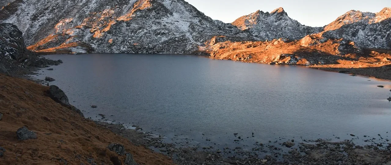
Langtang Gosaikunda Trek Itinerary: The Direct Answer
Langtang Gosaikunda Trek itinerary planning starts with understanding that this combined route typically requires 14 to 16 days from Kathmandu and back, with 10 to 12 actual trekking days covering approximately 95 to 110 kilometers. The standard itinerary follows this progression: drive from Kathmandu to Syabrubesi, trek through the Langtang Valley to Kyanjin Gompa, return partially down the valley, branch toward the Gosaikunda region via Thulo Syabru and Chandanbari, cross Laurebina La at 4,610 meters, and descend through the Helambu region to Sundarijal for the return to Kathmandu.
The Langtang Gosaikunda Trek itinerary combines two distinct trekking regions into one continuous journey. The Langtang Valley section provides gradual acclimatization and dramatic valley scenery, while the Gosaikunda section adds high-altitude lakes and the challenging Laurebina La pass crossing. This combination creates a more demanding trek than either route alone, but it rewards trekkers with exceptional variety.
Understanding the Langtang Gosaikunda Trek itinerary requires recognizing that it is not simply two treks stitched together. The route follows a logical geographic connection through the high ridge system separating the Langtang and Gosaikunda watersheds. This connection is what makes the combined trek feasible without returning to Kathmandu between sections.
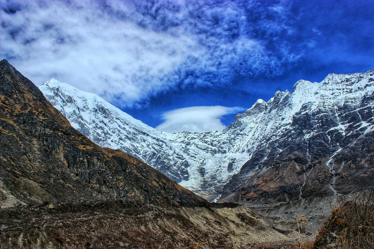
Langtang Gosaikunda Trek Itinerary: Complete Overview Table
| Feature | Details |
|---|---|
| Total duration | 14–16 days from Kathmandu |
| Trekking days | 10–12 days |
| Total trekking distance | 95–110 km |
| Starting point | Syabrubesi (via 7–9 hour drive from Kathmandu) |
| Ending point | Sundarijal or Dhunche (varies by route) |
| Highest sleeping point | Gosaikunda (4,380m) |
| Highest trekking point | Laurebina La (4,610m) |
| Optional high points | Kyanjin Ri (4,773m), Tserko Ri (4,984m) |
| Difficulty | Moderate to challenging |
| Best seasons | March–May and October–November |
| Accommodation | Teahouse/lodge throughout |
| Permits | Langtang National Park, TIMS, Shivapuri National Park (if exiting via Sundarijal) |
| Guide requirement | Recommended, not legally mandatory for main route |
Langtang Gosaikunda Trek Itinerary: How the Route Connects
The Langtang Gosaikunda Trek itinerary is a point-to-point route that links two major trekking destinations through a high mountain pass. Understanding this connection is essential for appreciating the itinerary structure.
The Geographic Logic
The Langtang Valley and Gosaikunda region are adjacent but separated by a high ridge system. The Langtang Gosaikunda Trek route follows this natural geography:
Langtang Valley Section: The trek begins in the Langtang River watershed, climbing north from Syabrubesi through forested terrain toward the high alpine valley at Kyanjin Gompa. This section provides gradual acclimatization and introduces trekkers to the Langtang region’s distinct landscape.
Transition Section: After exploring Kyanjin Gompa, the route descends partially down the valley before branching west toward Thulo Syabru. This transition is critical—it is where the trek leaves the Langtang watershed and begins climbing toward the Gosaikunda basin.
Gosaikunda Section: The route climbs through Chandanbari toward the sacred lakes at Gosaikunda. This section is more exposed and higher than the Langtang Valley, with the terrain becoming progressively more alpine.
Laurebina La Crossing: The high pass at 4,610 meters connects the Gosaikunda basin with the Helambu region. This is the highest point of the standard itinerary and the defining challenge of the combined trek.
Descent Section: After crossing Laurebina La, the route descends through the Helambu region, passing through Tamang and Sherpa settlements before reaching the roadhead at Sundarijal.
This structure means the Langtang Gosaikunda Trek itinerary provides two distinct trekking experiences in one journey, with the Laurebina La pass serving as the dramatic connecting point between them.
Langtang Gosaikunda Trek Itinerary: Complete Day-by-Day Table
The following table represents a standard 15-day Langtang Gosaikunda Trek itinerary from Kathmandu. This version includes a proper acclimatization day at Kyanjin Gompa and reasonable daily walking hours.
| Day | Route | Walking Time | Approx. Distance | Overnight Elevation |
|---|---|---|---|---|
| 1 | Kathmandu to Syabrubesi | 7–9 hours (drive) | 120–150 km by road | 1,500m |
| 2 | Syabrubesi to Lama Hotel | 5–6 hours | 9–11 km | 2,410m |
| 3 | Lama Hotel to Langtang Village | 5–6 hours | 14–16 km | 3,430m |
| 4 | Langtang Village to Kyanjin Gompa | 3–4 hours | 7–8 km | 3,870m |
| 5 | Kyanjin Gompa acclimatization/exploration | 3–6 hours | Variable | 3,870m |
| 6 | Kyanjin Gompa to Lama Hotel | 6–8 hours | 22–24 km | 2,410m |
| 7 | Lama Hotel to Thulo Syabru | 5–6 hours | 10–12 km | 2,250m |
| 8 | Thulo Syabru to Chandanbari | 5–6 hours | 8–10 km | 3,250m |
| 9 | Chandanbari to Gosaikunda | 6–7 hours | 10–12 km | 4,380m |
| 10 | Gosaikunda to Laurebina La to Ghopte | 6–8 hours | 12–14 km | 3,440m |
| 11 | Ghopte to Kutumsang | 5–6 hours | 10–12 km | 2,470m |
| 12 | Kutumsang to Chisapani | 5–6 hours | 12–14 km | 2,215m |
| 13 | Chisapani to Sundarijal | 4–5 hours | 9–11 km | 1,460m |
| 14 | Sundarijal to Kathmandu | 1–1.5 hours (drive) | 15 km by road | 1,350m |
| 15 | Buffer/rest day in Kathmandu | — | — | 1,350m |
Note: The buffer day on Day 15 is optional but recommended for international travelers planning flights. Some itineraries compress the return journey to end on Day 14 without a buffer.
Langtang Gosaikunda Trek Itinerary: Day-by-Day Breakdown
The table provides structure, but understanding what each day actually involves helps you prepare mentally and physically for the Langtang Gosaikunda Trek itinerary.
Day 1: Kathmandu to Syabrubesi
The Langtang Gosaikunda Trek itinerary begins with a full day of road travel. The drive from Kathmandu to Syabrubesi covers approximately 120–150 kilometers on winding mountain roads. Expect 7–9 hours in the vehicle, including stops for meals and rest breaks. You arrive in Syabrubesi in the late afternoon with time to organize gear and rest before the trek begins the following morning.
Day 2: Syabrubesi to Lama Hotel
The first trekking day of the Langtang Gosaikunda Trek itinerary is surprisingly demanding. The trail climbs steeply through forested terrain, gaining approximately 910 meters in elevation. The distance of 9–11 kilometers may sound modest, but the sustained uphill nature of this section makes it a genuine physical test. Most trekkers arrive at Lama Hotel tired but satisfied.
Day 3: Lama Hotel to Langtang Village
This is typically the longest trekking day of the Langtang Valley section. The trail continues climbing through increasingly open terrain, passing through small settlements and yak pastures. The elevation gain of approximately 1,020 meters over 14–16 kilometers requires steady endurance. This day tests your ability to maintain pace over extended distance.
Day 4: Langtang Village to Kyanjin Gompa
A shorter and more manageable day. The trail follows the valley floor as it opens into a wide glacial basin. The elevation gain of approximately 440 meters occurs entirely above 3,400 meters, where altitude begins to affect breathing and pace. Arriving at Kyanjin Gompa in the early afternoon provides time for rest and exploration.
Day 5: Kyanjin Gompa Acclimatization Day
This day is essential for altitude adjustment in the Langtang Gosaikunda Trek itinerary. Kyanjin Gompa sits at 3,870 meters, and your body needs time to adapt before continuing to higher elevations. Options include:
-
Rest and exploration: Walk around the village, visit the monastery, observe yak pastures
-
Kyanjin Ri climb: 4–6 hours round trip, reaching 4,773 meters
-
Tserko Ri climb: 7–10 hours round trip, reaching 4,984 meters
Most trekkers choose either rest or Kyanjin Ri. Tserko Ri requires excellent acclimatization and should only be attempted by fit, well-adjusted trekkers.
Day 6: Kyanjin Gompa to Lama Hotel
This is one of the longest days of the Langtang Gosaikunda Trek itinerary. The descent covers 22–24 kilometers, taking 6–8 hours. While downhill walking is less aerobically demanding than climbing, it stresses knees and quadriceps significantly. Trekking poles are invaluable on this day.
Day 7: Lama Hotel to Thulo Syabru
This day begins the route transition from the Langtang Valley toward the Gosaikunda region. The trail climbs to Thulo Syabru, a Tamang village perched on a ridge. This is where the Langtang Gosaikunda Trek route connection becomes apparent—you are no longer following the Langtang River but climbing toward the Gosaikunda watershed.
Day 8: Thulo Syabru to Chandanbari
The trail climbs steadily through rhododendron and pine forests toward Chandanbari (also called Sing Gompa). The elevation gain of approximately 1,000 meters makes this a demanding day. Chandanbari is known for its yak cheese factory and views of the Ganesh Himal range.
Day 9: Chandanbari to Gosaikunda
This is one of the most challenging days of the Langtang Gosaikunda Trek itinerary. The trail climbs steeply above the treeline toward the Gosaikunda lakes. The elevation gain from 3,250 meters to 4,380 meters occurs over 10–12 kilometers, and the altitude makes every step feel harder. The approach to Gosaikunda is exposed and weather-dependent.
Day 10: Gosaikunda to Laurebina La to Ghopte
This is the highest and most demanding day of the Langtang Gosaikunda Trek itinerary. The morning begins with the climb from Gosaikunda to Laurebina La at 4,610 meters. The pass crossing is steep and exposed, with weather that can change rapidly. After the pass, the trail descends significantly toward Ghopte. Total walking time is 6–8 hours.
Day 11: Ghopte to Kutumsang
The trail descends through forests and small settlements. The walking is moderate, but the cumulative fatigue of the trek makes this day feel longer than the distance suggests.
Day 12: Kutumsang to Chisapani
The trail continues through terraced hillsides and villages. This is a moderate trekking day with some uphill sections. The decreasing elevation makes breathing easier, but your legs may still feel tired from previous days.
Day 13: Chisapani to Sundarijal
The final trekking day of the Langtang Gosaikunda Trek itinerary descends through Shivapuri National Park toward Sundarijal. The trail is well-established, and the decreasing elevation makes walking easier. This is a satisfying final day as you complete the trek.
Day 14: Sundarijal to Kathmandu
A short drive of approximately 1–1.5 hours returns you to Kathmandu. The trek is complete, and you can enjoy a hot shower and comfortable bed.
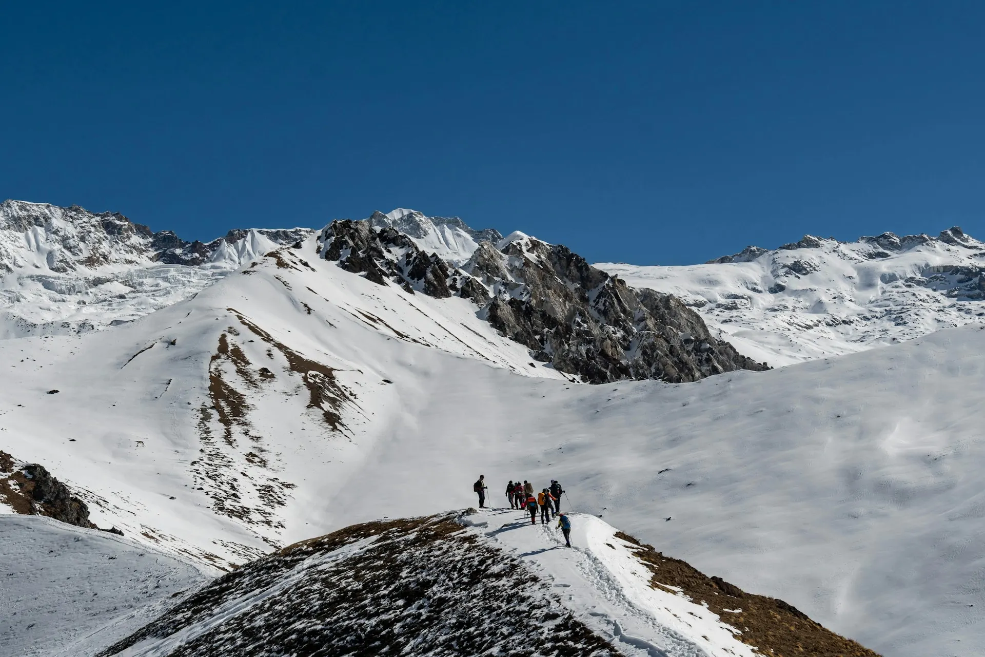
Langtang Gosaikunda Trek Itinerary: The Hardest Days
Understanding which days require the most effort helps you prepare for the Langtang Gosaikunda Trek itinerary realistically.
Day 2: Syabrubesi to Lama Hotel
The first trekking day is challenging because your body is not yet adjusted to trekking rhythm. The steep climb through forest is sustained and unrelenting. Many trekkers find this day harder than expected despite its modest distance.
Day 3: Lama Hotel to Langtang Village
The longest day of the Langtang Valley section combines distance, elevation gain, and consecutive-day fatigue. Proper pacing is essential to avoid exhaustion.
Day 6: Kyanjin Gompa to Lama Hotel
The long descent of 22–24 kilometers taxes knees and quadriceps. While downhill walking requires less aerobic effort, the cumulative impact on leg muscles is significant. This day often feels harder than expected.
Day 9: Chandanbari to Gosaikunda
The climb to Gosaikunda above 4,000 meters is genuinely difficult. The altitude makes every step feel harder, and the exposed terrain offers no shade. Weather conditions can add further difficulty.
Day 10: Gosaikunda to Laurebina La to Ghopte
This is the hardest day of the Langtang Gosaikunda Trek itinerary. The climb to Laurebina La at 4,610 meters in cold morning air, followed by a long descent, requires both physical endurance and mental fortitude. The pass crossing is the defining challenge of the combined route.
Langtang Gosaikunda Trek Itinerary: Altitude Profile
Understanding the elevation progression of the Langtang Gosaikunda Trek itinerary is essential for proper acclimatization planning.
Complete Elevation Profile
| Location | Elevation | Typical Day |
|---|---|---|
| Kathmandu | 1,350m | Day 1 |
| Syabrubesi | 1,500m | Day 1 |
| Lama Hotel | 2,410m | Day 2 |
| Langtang Village | 3,430m | Day 3 |
| Kyanjin Gompa | 3,870m | Day 4–5 |
| Thulo Syabru | 2,250m | Day 7 |
| Chandanbari | 3,250m | Day 8 |
| Gosaikunda | 4,380m | Day 9 |
| Laurebina La | 4,610m | Day 10 |
| Ghopte | 3,440m | Day 10 |
| Kutumsang | 2,470m | Day 11 |
| Chisapani | 2,215m | Day 12 |
| Sundarijal | 1,460m | Day 13 |
Acclimatization Strategy
The Langtang Gosaikunda Trek itinerary naturally builds in acclimatization through gradual elevation gain. Key elements include:
-
The climb to Kyanjin Gompa is spread over three days
-
The scheduled acclimatization day at Kyanjin Gompa provides essential adjustment time
-
The descent to Lama Hotel provides recovery before the Gosaikunda section
-
The climb toward Gosaikunda is broken into stages via Chandanbari
Altitude Symptoms to Monitor
Above 3,000 meters, trekkers may experience mild headache, fatigue, reduced appetite, poor sleep, and shortness of breath. These symptoms are common and generally improve with rest. However, persistent headache, vomiting, confusion, or difficulty walking are serious warning signs requiring immediate descent.
Important: Physical fitness does not prevent altitude sickness. The primary prevention is proper acclimatization through gradual ascent and adequate rest.
Langtang Gosaikunda Trek Itinerary: Laurebina La Crossing
Laurebina La is the highest point of the Langtang Gosaikunda Trek itinerary at approximately 4,610 meters. This pass crossing deserves focused attention.
What Laurebina La Is
Laurebina La is a high mountain pass connecting the Gosaikunda basin with the Helambu region. It is not a technical climb—no ropes or climbing equipment are needed—but it is a genuine high-altitude pass crossing requiring preparation and respect.
The Climb from Gosaikunda
The climb from Gosaikunda to Laurebina La begins early in the morning. The trail climbs approximately 230 meters from Gosaikunda (4,380m) to the pass (4,610m). While this elevation gain sounds modest, it occurs entirely above 4,300 meters, where the air contains roughly half the oxygen available at sea level.
The climb takes 1 to 2 hours depending on pace and conditions. The trail is steep and exposed, with no shade. Weather can change rapidly, with wind, cloud, and even snow possible depending on the season.
The Descent from Laurebina La
After crossing the pass, the trail descends significantly toward Ghopte. The descent is long and challenging on tired legs. Trekking poles provide essential support on this section.
Why Laurebina La Matters
Laurebina La represents the physical and psychological high point of the Langtang Gosaikunda Trek itinerary. It is where the two trekking regions connect, and it demands genuine effort at high altitude. Trekkers should not underestimate this day simply because the pass is not technical.
Langtang Gosaikunda Trek Itinerary: Gosaikunda Lake
Gosaikunda is the spiritual and scenic highlight of the Gosaikunda section of the Langtang Gosaikunda Trek itinerary.
The Sacred Lake
Gosaikunda sits at approximately 4,380 meters and holds deep religious significance for Hindus and Buddhists. The lake system consists of several connected water bodies surrounded by rocky terrain and dramatic mountain views. The site is particularly significant during the Janai Purnima festival in August, when thousands of pilgrims visit.
Accommodation at Gosaikunda
Accommodation at Gosaikunda is basic, even by teahouse standards. Rooms are simple, with shared facilities and limited heating. The altitude makes sleeping difficult for many trekkers. Bring warm layers and a good sleeping bag rated to at least -10°C.
Weather at Gosaikunda
Weather at Gosaikunda is unpredictable. Even during the best seasons, temperatures drop below freezing at night, and wind can be strong. Snow is possible outside the main trekking seasons. The high-altitude environment demands respect and proper gear.
The Spiritual Dimension
Gosaikunda is not just a trekking destination—it is a place of pilgrimage. Treat the site with respect. Follow local customs, avoid swimming in the lake, and be mindful that you are visiting a sacred space.
Langtang Gosaikunda Trek Itinerary: Kyanjin Gompa and Optional Viewpoints
The Langtang Gosaikunda Trek itinerary includes time at Kyanjin Gompa, which serves as a base for optional high-altitude climbs.
Kyanjin Gompa
Kyanjin Gompa sits at 3,870 meters and is the traditional high point of the Langtang Valley section. The village features a historic monastery, a yak cheese factory, and panoramic views of Langtang Lirung.
Kyanjin Ri (4,773 meters)
Kyanjin Ri is a challenging viewpoint climb taking 4–6 hours round trip from Kyanjin Gompa. The climb involves approximately 900 meters of elevation gain and steep, sustained climbing above 4,500 meters. Most trekkers can complete Kyanjin Ri during the acclimatization day if weather and health permit.
Tserko Ri (4,984 meters)
Tserko Ri is a demanding high-altitude climb taking 7–10 hours round trip from Kyanjin Gompa. This climb requires excellent acclimatization and should only be attempted by fit trekkers. Adding Tserko Ri typically extends the itinerary by one day.
How These Affect the Itinerary
The standard Langtang Gosaikunda Trek itinerary includes one acclimatization day at Kyanjin Gompa. This day can be used for rest, Kyanjin Ri, or Tserko Ri. Adding both climbs extends the itinerary by one to two days.
Langtang Gosaikunda Trek Itinerary: Duration Options
The Langtang Gosaikunda Trek itinerary can be adapted to different time constraints and preferences.
| Itinerary Style | Approx. Duration | Best For | Main Trade-off |
|---|---|---|---|
| Short | 12–13 days | Experienced trekkers, limited time | Longer daily walking hours, less acclimatization |
| Standard | 14–15 days | Most trekkers | Balanced pacing and acclimatization |
| Comfortable | 16–17 days | Beginners, slower pace, side trips | More time required |
Choosing the Right Duration
Short itinerary (12–13 days): Suitable for trekkers with prior high-altitude experience who are comfortable with 6–8 hour walking days. This version typically skips the acclimatization day or compresses the return journey.
Standard itinerary (14–15 days): The best choice for most trekkers. This version includes proper acclimatization, reasonable daily walking hours, and enough flexibility for minor delays.
Comfortable itinerary (16–17 days): Ideal for trekkers who prefer shorter daily distances, want to attempt both Kyanjin Ri and Tserko Ri, or value flexibility for weather delays.
Langtang Gosaikunda Trek Itinerary: Difficulty Assessment
The Langtang Gosaikunda Trek itinerary is moderate to challenging in difficulty. It is more demanding than the standard Langtang Valley Trek due to the Gosaikunda section and the Laurebina La crossing.
Difficulty by Section
| Section | Difficulty | Main Challenge |
|---|---|---|
| Syabrubesi to Lama Hotel | Moderate | Steep sustained climbing |
| Lama Hotel to Langtang Village | Moderate to hard | Long distance with elevation gain |
| Langtang Village to Kyanjin Gompa | Moderate | Altitude effects |
| Kyanjin Gompa to Lama Hotel | Moderate to hard | Long descent, knee strain |
| Lama Hotel to Thulo Syabru | Moderate | Route transition climbing |
| Thulo Syabru to Chandanbari | Moderate to hard | Sustained elevation gain |
| Chandanbari to Gosaikunda | Hard | High altitude, steep climbing |
| Gosaikunda to Laurebina La to Ghopte | Hard | High pass crossing, exposure |
| Ghopte to Sundarijal | Easy to moderate | Decreasing elevation, cumulative fatigue |
Is It Suitable for Beginners?
The Langtang Gosaikunda Trek itinerary is not recommended for complete beginners with no prior trekking experience. It is suitable for trekkers with some multi-day hiking experience and good fitness. Complete beginners should consider the standard Langtang Valley Trek first.
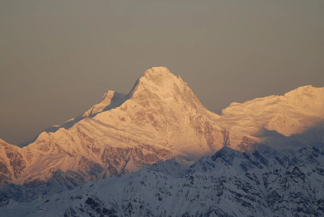
Langtang Gosaikunda Trek Itinerary: Permits and Requirements
The Langtang Gosaikunda Trek itinerary requires several permits and registrations as of 2026.
Required Permits
Langtang National Park Entry Permit:
-
Foreign nationals: NPR 3,000
-
SAARC nationals: NPR 1,500
-
Nepali citizens: NPR 100
TIMS Card (Trekkers’ Information Management System):
-
Foreign nationals: NPR 2,000
-
SAARC nationals: NPR 1,000
Shivapuri Nagarjun National Park Entry Permit (if exiting via Sundarijal):
-
Required for the final section of the trek
-
Fee: Approximately NPR 1,000 for foreign nationals
Where to Obtain Permits
All permits are obtainable at the Nepal Tourism Board office in Kathmandu. The process typically takes 45–90 minutes. Bring your passport, passport-sized photographs, and NPR cash.
Guide Requirements
A guide is not legally mandatory for the main Langtang Gosaikunda Trek itinerary, but it is strongly recommended. The route involves high-altitude sections, changing weather, and multiple route junctions where local knowledge is valuable.
Wonder Hikes Nepal provides licensed guides who understand the complete route, including the Laurebina La crossing and the connecting sections between Langtang and Gosaikunda.
Langtang Gosaikunda Trek Itinerary: Best Seasons
Seasonal conditions significantly affect the Langtang Gosaikunda Trek itinerary. Each season presents different trade-offs.
Spring (March–May)
Spring offers moderate temperatures and stable weather. Rhododendrons bloom in lower sections. Visibility is generally good, though afternoon clouds are common. This is one of the best seasons for the trek.
Challenges: Pre-monsoon haze, occasional rain, crowded trails during peak months.
Autumn (October–November)
Autumn offers the most stable weather with clear skies and moderate temperatures. This is the most popular season for the trek, and accommodation can be crowded.
Challenges: Cold nights at higher elevations, busy trails, limited teahouse availability.
Summer/Monsoon (June–September)
Monsoon conditions make the Langtang Gosaikunda Trek itinerary difficult. Heavy rain creates muddy trails, leeches are present in forested sections, and visibility is poor. The Laurebina La crossing can be dangerous in wet conditions.
Challenges: Mud, leeches, poor visibility, landslide risk, washed-out trail sections.
Winter (December–February)
Winter trekking is possible but demanding. Snow affects higher sections, particularly around Gosaikunda and Laurebina La. Some teahouses close for winter, reducing accommodation options.
Challenges: Cold temperatures, snow on trails, limited services, shorter daylight hours.
Langtang Gosaikunda Trek Itinerary: Transportation
Transportation is an important consideration for the Langtang Gosaikunda Trek itinerary.
Getting to Syabrubesi
The trek begins with a drive from Kathmandu to Syabrubesi, covering approximately 120–150 kilometers in 7–9 hours. Options include:
-
Private jeep: Faster, more comfortable, arranged through trekking agencies
-
Local bus: Cheaper but slower and less comfortable
Returning from the Trek
The standard Langtang Gosaikunda Trek itinerary ends at Sundarijal, approximately 15 kilometers from Kathmandu. The drive takes 1–1.5 hours.
Some itinerary variations end at Dhunche, which requires a longer drive back to Kathmandu (5–7 hours).
Transportation Arrangements
Wonder Hikes Nepal coordinates both the initial transportation to Syabrubesi and the pickup from the trek endpoint. This eliminates the need to negotiate with local drivers or navigate bus schedules after a demanding trek.
Langtang Gosaikunda Trek Itinerary: What to Pack
The Langtang Gosaikunda Trek itinerary requires specific gear due to the high-altitude sections and variable weather.
Essential Items
-
Trekking boots: Broken-in, waterproof, with good ankle support
-
Warm layers: Fleece, down jacket, thermal base layers
-
Waterproof shell: Jacket and pants for rain and wind
-
Gloves and hat: Essential for high-altitude sections, especially early mornings
-
Trekking poles: Critical for the Laurebina La descent and long downhill sections
-
Water purification: Tablets or filter bottle
-
Headlamp: For early morning starts and evening movement
-
Sleeping bag: Rated to at least -10°C for comfort at Gosaikunda
-
Sun protection: Sunscreen, sunglasses, hat
-
Basic first-aid: Blister treatment, pain relief, altitude medication as advised
-
Document storage: Waterproof pouch for permits and passport
Why These Items Matter
The Langtang Gosaikunda Trek itinerary reaches higher elevations than the standard Langtang Valley Trek. The Gosaikunda section, in particular, requires warm gear even during the best seasons. The Laurebina La crossing exposes you to wind and cold, and proper layers are essential for comfort and safety.
How Wonder Hikes Nepal Plans the Langtang Gosaikunda Trek Itinerary
Wonder Hikes Nepal understands that the Langtang Gosaikunda Trek itinerary requires careful planning to balance physical demands, altitude, and logistics. The company’s approach focuses on realistic pacing and proper preparation.
When you book the Langtang Gosaikunda Trek with Wonder Hikes Nepal, the team:
-
Designs realistic itineraries: Daily walking hours and distances are planned to be sustainable
-
Coordinates all transportation: Kathmandu to Syabrubesi and pickup from the trek endpoint
-
Processes permits: Langtang National Park, TIMS, and Shivapuri National Park permits handled before departure
-
Provides licensed guides: Experienced guides who understand the complete route
-
Arranges porter support: Reducing pack weight significantly reduces physical difficulty
-
Books teahouse accommodation: Reservations made in advance during peak seasons
-
Monitors current conditions: Trail conditions, weather, and route changes tracked
The goal is to help you complete the Langtang Gosaikunda Trek itinerary safely, comfortably, and at a pace that works for you.
Frequently Asked Questions About Langtang Gosaikunda Trek Itinerary
1. How long is the Langtang Gosaikunda Trek?
The Langtang Gosaikunda Trek typically takes 14 to 16 days from Kathmandu and back, with 10 to 12 days spent trekking.
2. Is 10 days enough for Langtang Gosaikunda Trek?
No, 10 days is not enough for the complete combined trek. A realistic minimum is 12–13 days for experienced trekkers.
3. Where does the Langtang Gosaikunda Trek start?
The trek starts at Syabrubesi, reached by a 7–9 hour drive from Kathmandu.
4. Where does the Langtang Gosaikunda Trek end?
The trek typically ends at Sundarijal, approximately 15 kilometers from Kathmandu.
5. How do Langtang Valley and Gosaikunda connect?
The two regions connect through the Laurebina La pass at approximately 4,610 meters.
6. What is the highest point of the Langtang Gosaikunda Trek?
The highest trekking point is Laurebina La at approximately 4,610 meters.
7. How high is Gosaikunda?
Gosaikunda sits at approximately 4,380 meters elevation.
8. How difficult is the Langtang Gosaikunda Trek?
The trek is moderate to challenging, more demanding than the standard Langtang Valley Trek.
9. Is the Langtang Gosaikunda Trek suitable for beginners?
The trek is not recommended for complete beginners. It is suitable for trekkers with prior hiking experience.
10. What permits are required?
You need the Langtang National Park Entry Permit, TIMS card, and Shivapuri National Park permit if exiting via Sundarijal.
11. What is the best season for Langtang Gosaikunda Trek?
The best seasons are March to May and October to November.
12. How many hours do you walk each day?
Most trekking days involve 5 to 7 hours of walking, with some days extending to 8 hours.
13. Can I add Kyanjin Ri or Tserko Ri to the itinerary?
Yes, both climbs are possible. Kyanjin Ri adds 4–6 hours. Tserko Ri adds 7–10 hours and typically requires an extra day.
14. What is accommodation like on the trek?
Accommodation is basic teahouse/lodge style with twin beds, shared toilets, and limited facilities.
15. What happens if weather delays the trek?
Build flexibility into your itinerary. If weather delays the Laurebina La crossing, wait rather than pushing through dangerous conditions.
Plan Your Langtang Gosaikunda Trek Itinerary With Wonder Hikes Nepal
The Langtang Gosaikunda Trek itinerary is a demanding and rewarding route that combines two of Nepal’s most significant trekking regions. Proper planning—realistic pacing, altitude management, transportation coordination, and contingency flexibility—makes the difference between a successful trek and a difficult experience.
Wonder Hikes Nepal can help you plan the right Langtang Gosaikunda Trek itinerary for your fitness level, experience, and time constraints. Contact Wonder Hikes Nepal to discuss your trekking goals and receive a personalized itinerary recommendation.