Where Is Langtang Valley Located?
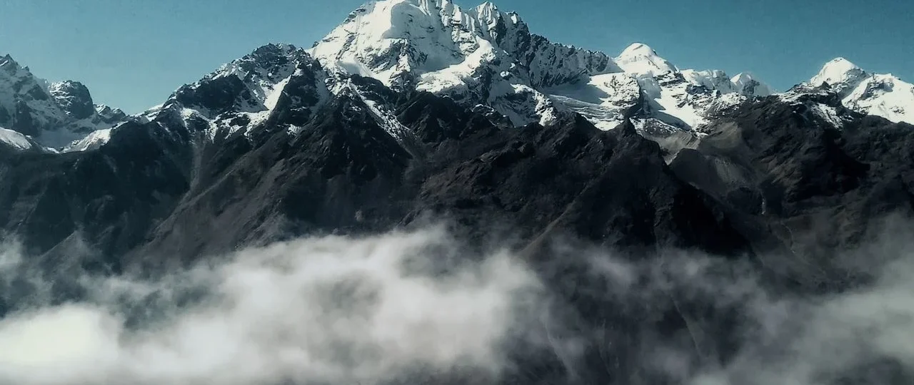
Langtang Valley is located in north-central Nepal within Langtang National Park. The valley sits in Rasuwa District of Bagmati Province, approximately 60–70 km straight-line distance north of Kathmandu. The actual road journey to the trekking gateway covers 120–130 km and takes 7–9 hours.
The Langtang Valley location is defined by the Langtang Khola river, which flows south from high glaciers near the Tibet border through a narrow alpine valley before joining the Bhote Koshi river system. The valley runs south-to-north, with elevations rising from 1,503m at Syabrubesi to 3,870m at Kyanjin Gompa.
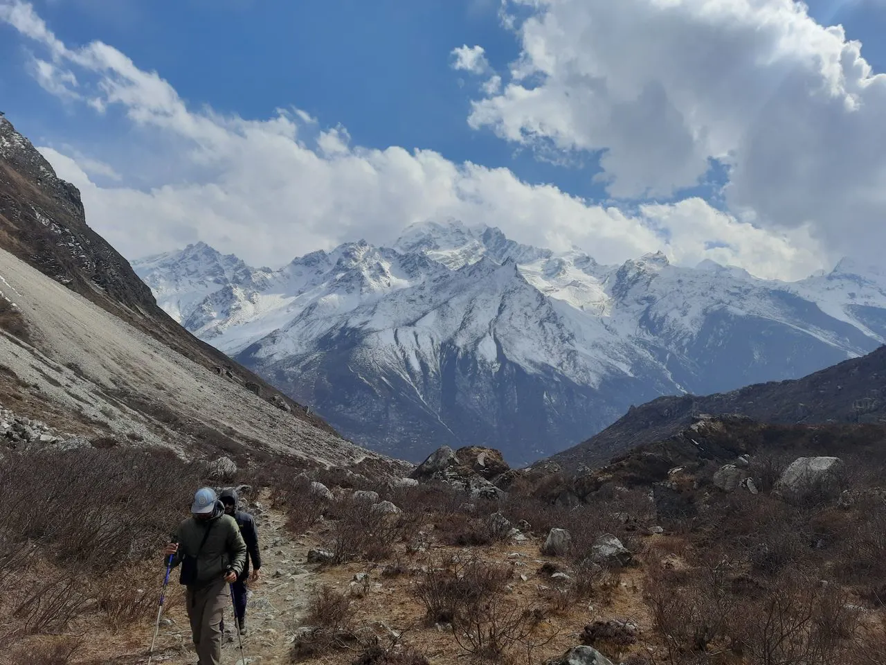
Langtang Valley at a glance:
| Geographic Feature | Details |
|---|---|
| Country | Nepal |
| Province | Bagmati Province |
| District | Rasuwa District |
| Protected Area | Langtang National Park |
| Distance from Kathmandu | 60–70 km (straight line), 120–130 km (by road) |
| Trekking Gateway | Syabrubesi (1,503m) |
| Traditional Endpoint | Kyanjin Gompa (3,870m) |
| Valley Orientation | South to North |
| Main River | Langtang Khola |
| Northern Boundary | Langtang Himal / Tibet border |
Langtang Valley Location on the Nepal Map
When you locate Langtang Valley on a Nepal map, you’ll find it in the north-central region, directly north of Kathmandu. The Langtang Valley location is positioned within the Langtang Himal, a sub-range of the Nepal Himalaya that forms part of the natural border with Tibet.
Geographic coordinates: The valley spans approximately 28°10′ to 28°20′ North latitude and 85°30′ to 85°45′ East longitude.
Map relationship to Kathmandu: Langtang Valley is the closest major Himalayan trekking region to Nepal’s capital. On a map, it appears almost directly north of Kathmandu, separated by intermediate ridges that hide the valley from view.
What the map shows: The Langtang Valley location sits between two major river systems—the Bhote Koshi to the west and the Trishuli to the east. The valley itself is carved by the Langtang Khola, which flows southward from glacial sources near the Tibet border.
Important map clarification: Langtang Valley is not visible from Kathmandu. Despite the relatively short straight-line distance, intervening mountain ridges block the view. You must travel north by road for several hours before entering the Langtang catchment area.
Langtang Valley District and Province
The Langtang Valley location falls within Rasuwa District, one of 13 districts in Bagmati Province of Nepal. This administrative context matters for understanding local governance, permit requirements, and transportation logistics.
Rasuwa District Overview
District headquarters: Dhunche (also called Dhunche Bazaar)
Total area: Approximately 1,544 square kilometers
Population: Approximately 43,000 (2021 census)
Major ethnic groups: Tamang (dominant), Sherpa, Brahmin, Chhetri
Key rivers: Trishuli, Bhote Koshi, Langtang Khola
Elevation range: 600m to 7,234m (Langtang Lirung summit)
International border: Shares border with Tibet (China)
Bagmati Province Context
Province capital: Hetauda (administrative), Kathmandu (economic center)
Other trekking areas in province: Helambu, Gosaikunda, Langtang
Access from Kathmandu: Direct road connection via Pasang Lhamu Highway
Why this matters for visitors: The Langtang Valley location within Rasuwa District means you’ll pass through Dhunche en route to Syabrubesi. The district has significant strategic importance due to its Tibet border, hosting the Rasuwagadhi/Kerung border crossing—though this crossing is separate from the trekking route.
Langtang Valley Distance from Kathmandu
Understanding the Langtang Valley distance from Kathmandu requires recognizing three different measurements:
Straight-Line Distance
Approximately 60–70 km separates Kathmandu from the Langtang Valley. This is the direct geographic distance, ignoring terrain and road networks.
Road Distance to Syabrubesi
Approximately 120–130 km by road from Kathmandu to Syabrubesi, the trekking gateway. This journey takes 7–9 hours depending on road conditions and vehicle type.
Trekking Distance to Kyanjin Gompa
Approximately 25–27 km one way from Syabrubesi to Kyanjin Gompa. This trekking section takes 4 days up and 2–3 days back.
Total Distance Reality
| Measurement | Distance | Time Required |
|---|---|---|
| Straight-line (Kathmandu to Langtang) | 60–70 km | — |
| Road (Kathmandu to Syabrubesi) | 120–130 km | 7–9 hours |
| Trekking (Syabrubesi to Kyanjin Gompa) | 25–27 km | 4 days |
| Total ground distance | 145–157 km | 5 days |
Key insight: Many people see “60 km from Kathmandu” and assume Langtang is a quick excursion. The reality is that the road journey alone takes most of a day, followed by several days of trekking. Understanding this distinction is essential for trip planning.
Is Langtang Valley Near Tibet?
Yes, the Langtang Valley location places it close to the Nepal–China (Tibet) border. The northern end of the valley approaches the international boundary, with the high peaks of the Langtang Himal forming a natural border between Nepal and the Tibetan Autonomous Region.
Distance to Tibet border: Approximately 10–15 km straight-line from Kyanjin Gompa to the actual border.
Border crossing: The Rasuwagadhi/Kerung border crossing is located west of the Langtang Valley, accessible by road from Syabrubesi. However, this crossing is separate from the trekking route.
Trekking access to Tibet: Not possible from the Langtang Valley itself. The border is mountainous and closed. The trek remains entirely within Nepal.
Cultural influence: The proximity to Tibet shapes the region’s culture. The Tamang people, dominant in the Langtang area, have linguistic and cultural ties to Tibetan communities. Tibetan Buddhism is practiced throughout the valley, visible in monasteries, prayer flags, and mani walls.
Is Langtang Valley Inside Langtang National Park?
Yes, the Langtang Valley location is entirely within Langtang National Park, Nepal’s first Himalayan national park established in 1976.
Langtang National Park facts:
-
Established: 1976 (first Himalayan national park in Nepal)
-
Total area: 1,710 square kilometers
-
Elevation range: 1,000m to 7,245m
-
Management: Department of National Parks and Wildlife Conservation
-
UNESCO connection: Part of the Sacred Himalayan Landscape
What park status means for visitors:
-
Entry permit required: NPR 3,500 for foreign nationals (2026)
-
Protected wildlife: Red panda, Himalayan tahr, musk deer, snow leopard
-
Regulations: No hunting, plant collection, or off-trail trekking without permission
-
Local communities: Maintain traditional land-use rights within designated zones
Map relationship: On a Langtang Valley map, the national park boundary encompasses the entire trekking route from Syabrubesi to Kyanjin Gompa and beyond. The park extends north to the Tibet border and includes surrounding peaks, glaciers, and high passes.
Where Does the Langtang Valley Trek Start?
The Langtang Valley trek starts in Syabrubesi, a town located at 1,503 meters elevation in Rasuwa District. This is the traditional trekking gateway and the lowest point on the standard route.
Syabrubesi location details:
-
District: Rasuwa
-
Distance from Kathmandu: 120–130 km by road (7–9 hours)
-
Distance from Dhunche: 25–30 km (1–1.5 hours by road)
-
River confluence: Bhote Koshi and Langtang Khola rivers
-
Elevation: 1,503m
-
Facilities: Tea houses, small shops, last reliable mobile service
Why Syabrubesi is the starting point: Syabrubesi sits at the southern entrance to the Langtang Valley, where the Langtang Khola meets the Bhote Koshi. The town has direct road access from Kathmandu, making it the logical trailhead. From here, the trail heads north along the Langtang Khola, entering the valley proper within the first few hours.
Alternative starting point: Some itineraries begin from Dhunche (2,030m), the district headquarters. This adds a full day of trekking through forest but offers a higher starting elevation. Most trekkers prefer Syabrubesi for its road access and established tea house infrastructure.
Where Does the Langtang Valley Trek End?
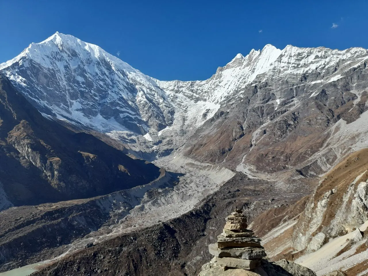
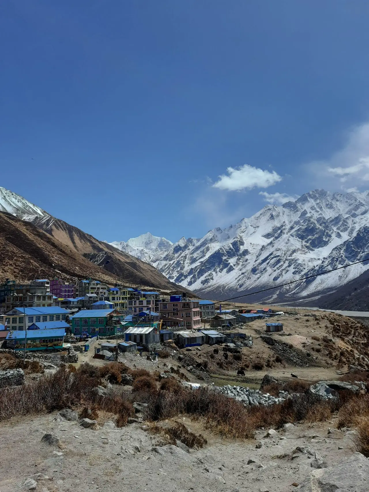
The traditional endpoint of the Langtang Valley trek is Kyanjin Gompa at 3,870 meters elevation. This monastery settlement sits in a glacial basin at the upper end of the valley, surrounded by 7,000-meter peaks.
Kyanjin Gompa location details:
-
Position: Upper Langtang Valley
-
Distance from Syabrubesi: 25–27 km north
-
Distance from Langtang Village: 5–6 km (2–3 hours walking)
-
Distance from Tibet border: 10–15 km straight-line
-
Surrounding peaks: Langtang Lirung (west), Dorje Lakpa (east), Gangchempo (south)
Optional extensions from Kyanjin Gompa:
-
Kyanjin Ri (4,773m) — viewpoint southwest, 7–8 km round trip
-
Tserko Ri (4,984m) — higher viewpoint east, 9–10 km round trip
-
Langshisa Kharka (4,100m) — yak pasture north, 12–14 km round trip
Return route: The trek returns along the same trail to Syabrubesi. It is an out-and-back route, not a loop.
Langtang Valley Trekking Route: Geographic Progression
The Langtang Valley location follows a clear geographic progression from south to north. Here’s the complete route sequence:
| Settlement | Elevation | Distance from Previous | Geographic Position |
|---|---|---|---|
| Syabrubesi | 1,503m | — | Southern entrance, river confluence |
| Lama Hotel/Riverside | 2,380m | 9–10 km | Forest section, first night |
| Ghoda Tabela | 3,030m | 8–9 km | Forest-to-alpine transition |
| Thangsyap | 3,140m | 3–4 km | Lunch stop, valley widening |
| Langtang Village | 3,430m | 4–5 km | Main settlement, rebuilt post-2015 |
| Mundu | 3,550m | 1 km | Extension of Langtang Village |
| Kyanjin Gompa | 3,870m | 4–5 km | Final destination, monastery |
Geographic transitions:
Lower valley (Syabrubesi to Ghoda Tabela): The trail climbs through dense subtropical and temperate forest. The valley is narrow, with steep walls and limited views. This section receives more rainfall and supports bamboo, oak, and rhododendron.
Upper valley (Ghoda Tabela to Kyanjin Gompa): The landscape opens dramatically. Forest gives way to alpine meadows, yak pastures, and glacial moraine. The valley widens, revealing views of Langtang Lirung and surrounding peaks.
Langtang Valley Elevation Profile
The Langtang Valley elevation ranges from 1,503m at Syabrubesi to 3,870m at Kyanjin Gompa. Here’s the complete elevation breakdown:
| Location | Elevation | Notes |
|---|---|---|
| Syabrubesi | 1,503m | Trailhead, lowest point |
| Lama Hotel | 2,380m | First night stop |
| Ghoda Tabela | 3,030m | Park checkpoint |
| Thangsyap | 3,140m | Lunch stop |
| Langtang Village | 3,430m | Main settlement |
| Mundu | 3,550m | Alternative overnight |
| Kyanjin Gompa | 3,870m | Traditional endpoint |
| Kyanjin Ri | 4,773m | Optional viewpoint |
| Tserko Ri | 4,984m | Highest trekking point |
Net elevation gain: 2,367m from Syabrubesi to Kyanjin Gompa
Cumulative elevation gain: 3,000–3,400m (accounting for all ups and downs)
Daily elevation gain:
| Day | Route | Net Gain | Difficulty |
|---|---|---|---|
| Day 1 | Syabrubesi to Lama Hotel | 877m | Steepest day |
| Day 2 | Lama Hotel to Ghoda Tabela | 650m | Moderate |
| Day 3 | Ghoda Tabela to Langtang Village | 400m | Moderate |
| Day 4 | Langtang Village to Kyanjin Gompa | 440m | Easiest ascent |
Why elevation matters more than distance: At 3,870m, Kyanjin Gompa sits high enough to cause altitude symptoms. The gradual ascent over four days allows for acclimatization, but side trips above 4,500m require extra caution.
What Mountains Surround Langtang Valley?
The Langtang Valley location is defined by the peaks that surround it. These mountains form part of the Langtang Himal, a sub-range of the Nepal Himalaya:
Langtang Lirung (7,234m)
Position: Western side of the valley
Significance: The dominant peak visible throughout the upper valley. It towers over Kyanjin Gompa and provides the classic Langtang panorama. This is the highest peak in the immediate vicinity.
Dorje Lakpa (6,966m)
Position: Eastern side of the valley
Significance: Visible from Kyanjin Gompa and eastern side trips. This peak sits close to the Tibet border and forms part of the international boundary.
Gangchempo (6,387m)
Position: Southern end of the upper valley
Significance: Guards the approach to Kyanjin Gompa from the south. Often visible during the final approach to the settlement.
Yala Peak (5,520m)
Position: Northwest of Kyanjin Gompa
Significance: A popular climbing peak for those wanting a non-technical summit. Requires separate climbing permits and is typically attempted as a 2–3 day extension.
Kyanjin Ri (4,773m) and Tserko Ri (4,984m)
Position: Southwest and east of Kyanjin Gompa respectively
Significance: Trekking viewpoints, not major mountains. Both accessible as day trips from Kyanjin Gompa.
Map relationship: These peaks form a horseshoe around the upper Langtang Valley. The glaciers between them feed the Langtang Khola, which flows south through the valley.
How to Reach Langtang Valley from Kathmandu
Reaching the Langtang Valley location involves two stages: road travel to Syabrubesi, then trekking into the valley.
Stage 1: Kathmandu to Syabrubesi (Road)
Distance: 120–130 km
Time: 7–9 hours
Route: Kathmandu → Trishuli Bazaar → Dhunche → Syabrubesi
Transportation options:
| Option | Duration | Cost (2026) | Notes |
|---|---|---|---|
| Public bus | 8–10 hours | NPR 800–1,200 | Daily departures from Machha Pokhari |
| Shared jeep | 7–8 hours | NPR 1,500–2,000 | Faster, more comfortable |
| Private jeep | 7–8 hours | NPR 18,000–25,000 | Flexible departure, best for groups |
Road conditions: The first 100 km to Dhunche is paved but winding through the Trishuli Valley. The final 20–25 km to Syabrubesi is unpaved and rough. Expect dust, bumps, and potential delays during monsoon season.
Stage 2: Syabrubesi to Kyanjin Gompa (Trekking)
Distance: 25–27 km one way
Time: 4 days up, 2–3 days down
Route: Syabrubesi → Lama Hotel → Ghoda Tabela → Langtang Village → Kyanjin Gompa
Trekking requirements (2026):
-
Langtang National Park permit (NPR 3,500)
-
TIMS card (NPR 2,000)
-
Licensed guide (mandatory for foreign trekkers)
Total journey time from Kathmandu to Kyanjin Gompa: 5 days (1 day road + 4 days trekking)
Why Road Distance Differs from Map Distance
When researching the Langtang Valley location, you’ll encounter different distance figures. Understanding why requires recognizing that map distance and road distance are different measurements:
Straight-line distance: 60–70 km (Kathmandu to Langtang Valley)
Road distance: 120–130 km (Kathmandu to Syabrubesi)
Trekking distance: 25–27 km (Syabrubesi to Kyanjin Gompa)
Total ground distance: 145–157 km (Kathmandu to Kyanjin Gompa)
Why the road is twice the straight-line distance: The Pasang Lhamu Highway follows the Trishuli River valley, which winds through mountainous terrain. The road climbs over ridges, follows river contours, and navigates switchbacks. A straight line on a map doesn’t represent the actual path any road or trail can take.
Practical implication: Never plan based on straight-line distance. Always use road distance for transportation planning and trekking distance for trail planning.
How to Read a Langtang Valley Map
Understanding a Langtang Valley map requires recognizing several key geographic relationships:
The Valley Orientation
The Langtang Valley runs south-to-north. The trail follows the Langtang Khola upstream from Syabrubesi to Kyanjin Gompa. The river is always on your right side when heading north (upstream).
Major Geographic Markers
Syabrubesi: Southern trailhead at the confluence of Bhote Koshi and Langtang Khola
Langtang Khola: The river that defines the valley
Langtang Lirung: Dominant peak on the western side
Tibet border: Northern boundary beyond the peaks
Route Interpretation
On a proper topographic map:
-
Contour lines close together: Steep sections (especially Day 1 from Syabrubesi)
-
Contour lines spread apart: Flatter sections (upper valley)
-
Valley widening: Indicates approach to Kyanjin Gompa
What Most Online Maps Get Wrong
Many Langtang Valley maps found online are marketing images rather than practical navigation tools. They often:
-
Show simplified routes without proper scale
-
Omit side trails to Kyanjin Ri and Tserko Ri
-
Misrepresent the relationship between Langtang Village and Mundu
-
Fail to show the significant elevation gain
For actual navigation: Use the Himalayan Map House “Langtang Valley” map (1:50,000 scale) or download offline maps from apps like Organic Maps or Gaia GPS.
Is Langtang Valley Suitable for Beginners?
The Langtang Valley location and terrain make it moderately challenging and suitable for fit beginners with proper preparation. Here’s an honest assessment:
What Makes It Accessible
-
Lower maximum elevation: Kyanjin Gompa at 3,870m is significantly lower than Everest Base Camp (5,364m) or Annapurna Base Camp (4,130m)
-
Shorter duration: 6–7 days trekking vs. 12–14 days for Everest
-
Road access: No flight required to reach the trailhead
-
Well-defined trail: Clear route following the river valley
-
Tea house infrastructure: Accommodation available at every overnight stop
What Makes It Challenging
-
Steep first day: 877m elevation gain from Syabrubesi to Lama Hotel
-
Sustained climbing: Four consecutive days of uphill walking
-
Altitude effects: Possible symptoms above 3,500m
-
Long descent: 1,490m elevation loss from Kyanjin Gompa to Lama Hotel on the return
Who Should Consider a Different Trek
-
Those with no hiking experience
-
Those with knee problems (long descents)
-
Those with altitude sensitivity
-
Those wanting maximum comfort
Bottom line: If you can walk 5–7 hours per day on hilly terrain and have good cardiovascular fitness, Langtang is achievable. The moderate difficulty makes it an excellent first Himalayan trek.
Langtang Valley vs. Other Nepal Trekking Regions
Understanding the Langtang Valley location helps compare it with other trekking destinations:
| Trekking Region | Distance from Kathmandu | Maximum Elevation | Duration | Difficulty |
|---|---|---|---|---|
| Langtang Valley | 120–130 km by road | 4,984m (optional) | 6–7 days | Moderate |
| Everest Base Camp | Flight to Lukla required | 5,545m | 12–14 days | Challenging |
| Annapurna Base Camp | 200+ km to Pokhara | 4,130m | 7–10 days | Moderate |
| Poon Hill | 200+ km to Pokhara | 3,210m | 4–5 days | Easy-Moderate |
| Manaslu Circuit | 120–130 km by road | 5,160m | 14–16 days | Challenging |
Langtang advantages:
-
Closest major trekking region to Kathmandu
-
No flight required
-
Lower maximum elevation
-
Less crowded than Everest or Annapurna
-
Rich Tamang culture and Tibetan Buddhist heritage
Langtang limitations:
-
Less dramatic peak views than Everest
-
Less diverse landscapes than Annapurna
-
Out-and-back route (no loop option)
-
Limited side trip options compared to longer treks
Why Choose Wonder Hikes Nepal for Langtang Valley
After understanding where Langtang Valley is and what reaching it involves, you may be considering professional support. Here’s how Wonder Hikes Nepal can help:
Local geographic knowledge: Our guides know the Langtang Valley location and terrain intimately—not just the trail itself, but current conditions, reliable tea houses, and how weather patterns affect the route. This knowledge comes from regular treks through the valley.
Complete logistics: We handle your Kathmandu-to-Syabrubesi transportation, permits, accommodation bookings, and guide coordination. You focus on trekking; we manage the details.
Acclimatization planning: Our itineraries are designed with proper altitude progression. We build in rest days at Kyanjin Gompa and advise on side trips based on how you’re feeling.
Current information: We check trail conditions, road access, and tea house availability before every departure. If conditions change, we adjust the plan and inform you immediately.
Safety support: Our guides are trained in wilderness first aid and altitude illness recognition. They carry communication equipment and know evacuation procedures.
Cultural context: Our guides share local knowledge about Tamang culture, Buddhist monasteries, and the post-2015 rebuilding story that makes Langtang unique.
Ready to plan your Langtang Valley trek? Contact Wonder Hikes Nepal for current conditions, a detailed itinerary, and a personalized quote. We respond within 24 hours with honest advice tailored to your fitness level and travel dates.
Frequently Asked Questions About Where Is Langtang Valley
1. Where is Langtang Valley located?
Langtang Valley is located in north-central Nepal, within Langtang National Park in Rasuwa District, Bagmati Province. It sits approximately 60–70 km north of Kathmandu (straight-line distance) and 120–130 km by road.
2. Which district is Langtang Valley in?
Langtang Valley is in Rasuwa District, one of 13 districts in Bagmati Province. The district headquarters is Dhunche, located approximately 25–30 km south of the trekking gateway at Syabrubesi.
3. Which province is Langtang Valley in?
Langtang Valley is in Bagmati Province, which includes Kathmandu and the surrounding central Nepal region. Bagmati Province extends from the lowland Terai to the high Himalaya.
4. How far is Langtang Valley from Kathmandu?
The straight-line distance is approximately 60–70 km. The road distance to Syabrubesi (trekking gateway) is 120–130 km, taking 7–9 hours. The trekking distance from Syabrubesi to Kyanjin Gompa adds another 25–27 km.
5. Is Langtang Valley near Tibet?
Yes, Langtang Valley lies close to the Nepal–China (Tibet) border. The northern end of the valley is approximately 10–15 km from the border. However, you cannot cross into Tibet from the trekking route.
6. Is Langtang Valley inside Langtang National Park?
Yes, Langtang Valley is entirely within Langtang National Park, Nepal’s first Himalayan national park (established 1976). The park covers 1,710 square kilometers and requires an entry permit.
7. Where does the Langtang Valley Trek start?
The Langtang Valley Trek starts in Syabrubesi (1,503m), a town in Rasuwa District reachable by road from Kathmandu. The trailhead begins at the north end of town, crossing the Bhote Koshi river on a suspension bridge.
8. What is the nearest town to Langtang Valley?
The nearest town to the Langtang Valley trekking route is Syabrubesi, the traditional trailhead. The nearest larger administrative center is Dhunche, the district headquarters, located 25–30 km south.
9. How do you reach Langtang Valley from Kathmandu?
You reach Langtang Valley by taking a bus or jeep from Kathmandu to Syabrubesi (7–9 hours, 120–130 km), then trekking north along the Langtang Khola for 4 days to reach Kyanjin Gompa.
10. What is the elevation of Langtang Valley?
The Langtang Valley elevation ranges from 1,503m at Syabrubesi to 3,870m at Kyanjin Gompa. Optional side trips reach 4,773m (Kyanjin Ri) or 4,984m (Tserko Ri).
11. Is Langtang Valley the same as Langtang Village?
No. Langtang Valley refers to the entire geographic valley along the Langtang Khola. Langtang Village is a specific settlement within the valley at 3,430m elevation, approximately 5–6 km south of Kyanjin Gompa.
12. Where is Kyanjin Gompa?
Kyanjin Gompa is located at the upper end of the Langtang Valley at 3,870m elevation. It sits in a glacial basin surrounded by Langtang Lirung (west), Dorje Lakpa (east), and Gangchempo (south). It is the traditional endpoint of the trek.
13. How long does it take to reach Langtang Valley?
From Kathmandu, it takes 1 day by road to Syabrubesi and 4 days trekking to reach Kyanjin Gompa at the upper end of the valley. The return takes 2–3 days. Total trip: 7–8 days from Kathmandu.
14. Is Langtang Valley suitable for beginners?
Langtang Valley is suitable for fit beginners with proper preparation. The moderate difficulty, lower maximum elevation, and good tea house infrastructure make it an accessible first Himalayan trek. However, basic fitness and preparation are essential.
15. Can you trek to Langtang Valley year-round?
Technically yes, but conditions vary dramatically. October–November (autumn) and March–May (spring) are the best seasons. Winter (December–February) is possible but cold with snow at higher elevations. Monsoon (June–September) is not recommended due to rain, leeches, and potential landslides.