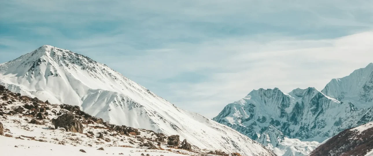
Langtang Valley Trek elevation is best understood as two distinct numbers. The first is where you sleep at the highest point — Kyanjin Gompa at approximately 3,870 metres. The second is the highest point you reach — Tserko Ri at approximately 4,984 metres, climbed as an optional day hike. The trail begins at Syabrubesi at roughly 1,460 metres, giving a net elevation gain of about 2,410 vertical metres over four walking days.
Those numbers place Langtang in the moderate altitude category by Himalayan standards. It is lower than Everest Base Camp and the Annapurna Circuit. But moderate does not mean insignificant. Altitude affects every trekker differently, and the Langtang Valley Trek elevation profile — with its steep early gains and high optional summit — deserves careful understanding before you commit to the trail.
This guide breaks down every elevation figure that matters, explains the difference between sleeping altitude and maximum altitude, and gives you the honest information you need to prepare.
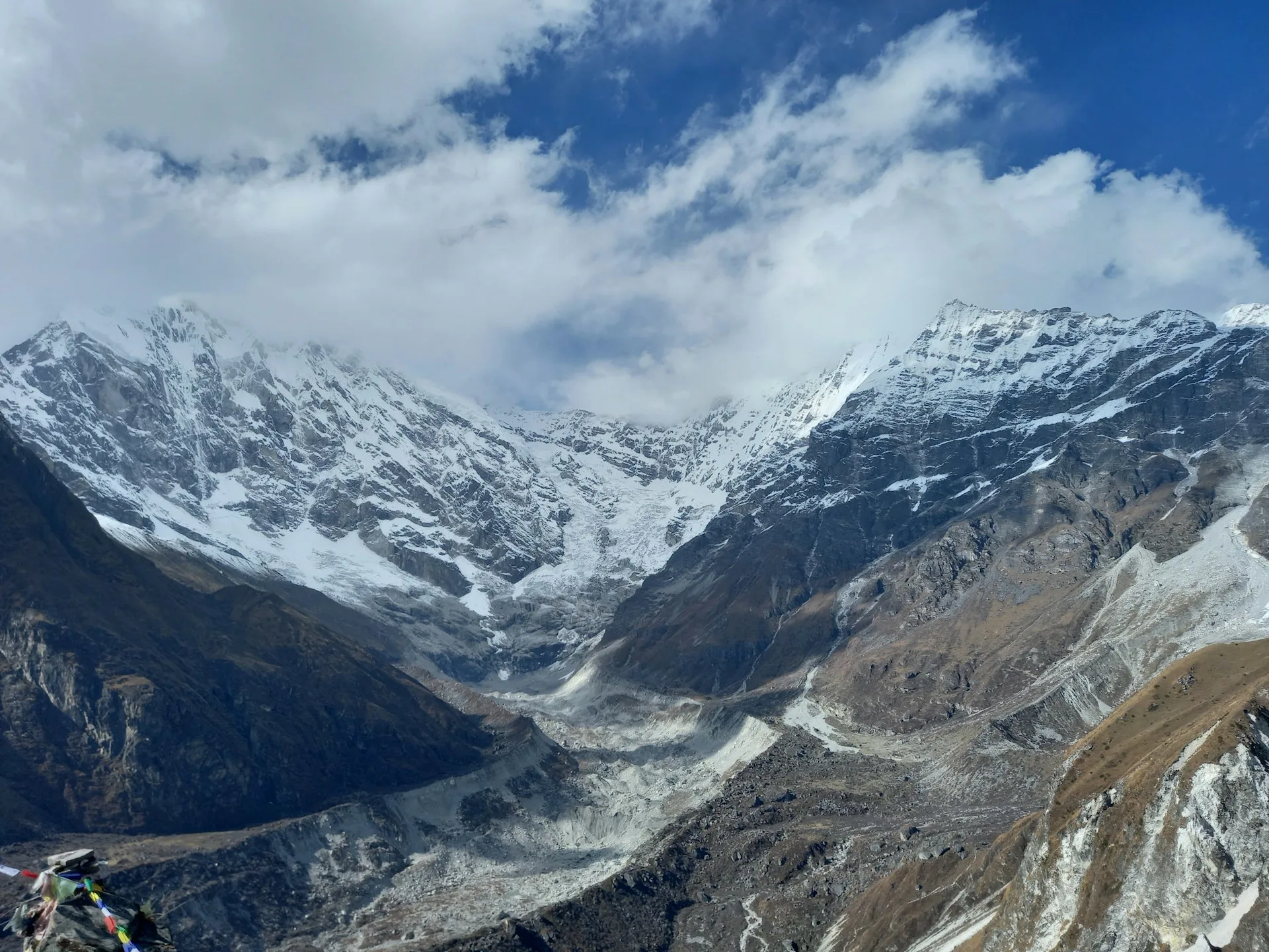
Langtang Valley Trek Elevation at a Glance
| Location | Approx. Elevation | Role in Trek | Altitude Significance |
|---|---|---|---|
| Syabrubesi | 1,460 m | Trailhead | Starting point; lowest overnight |
| Lama Hotel | 2,470 m | Night 1 on trail | First significant altitude gain |
| Ghoda Tabela | 3,010 m | Lunch/checkpoint | Crosses 3,000 m threshold |
| Langtang Village | 3,430 m | Night 2 on trail | Altitude becomes noticeable |
| Kyanjin Gompa | 3,870 m | Nights 3–4 (highest sleep) | Highest overnight altitude |
| Kyanjin Ri (lower) | 4,350 m | Optional day hike | First high viewpoint |
| Kyanjin Ri (upper) | 4,773 m | Optional day hike | Higher viewpoint; steeper |
| Tserko Ri | 4,984 m | Optional day hike | Highest point reached on standard trek |
Elevation figures vary slightly between sources. Kyanjin Gompa is consistently cited between 3,830 m and 3,870 m. Tserko Ri is listed between 4,984 m and 5,033 m, though 4,984 m is the most commonly accepted trekking figure. The figures above use the most widely cited trekking values.
Highest Sleeping Altitude vs Highest Point Reached
Langtang Valley Trek altitude is often misrepresented because people collapse two different numbers into one. The highest point you sleep is not the highest point you reach.
Kyanjin Gompa, at approximately 3,870 metres, is the highest overnight stop on the classic route. You sleep here for two nights. The trail does not go higher for sleeping.
Tserko Ri, at approximately 4,984 metres, is the highest point most trekkers reach. It is a day hike from Kyanjin Gompa. You climb it, you descend, you sleep back at 3,870 metres.
This distinction matters for two reasons. First, sleeping altitude is the primary driver of acclimatization. Your body adapts during sleep, not during the day. Second, the “climb high, sleep low” principle works because you gain altitude during a day hike and then return to a lower sleeping altitude. Kyanjin Gompa is perfectly positioned for this: you sleep at 3,870 metres, climb to nearly 5,000 metres, and descend back to 3,870 metres. The acclimatization benefit comes from the exposure, not from sleeping at the highest point.
Some trekkers mistakenly believe Tserko Ri is the “highest altitude of the trek” in the sense that they will sleep there. They will not. There is no accommodation at Tserko Ri. It is a viewpoint.
Complete Elevation Profile: Syabrubesi to Tserko Ri
The Langtang Valley Trek elevation profile is not a straight line. It is a series of climbs, short flats, and minor descents, with the steepest gain on the first day and the most significant altitude exposure at the end.
The trail begins at Syabrubesi (1,460 m) and follows the Langtang Khola upstream. The first day climbs steeply through forest to Lama Hotel (2,470 m) — a gain of over 1,000 metres. The second day continues to Langtang Village (3,430 m), crossing the 3,000-metre threshold at Ghoda Tabela. The third day is shorter, gaining only about 440 metres to Kyanjin Gompa (3,870 m). The fourth day is the optional summit day: either Kyanjin Ri (4,350 m or 4,773 m depending on which point you reach) or Tserko Ri (4,984 m).
The cumulative ascent for the entire trek — including all ups and downs on the return — is roughly 3,000 to 3,500 metres. The net gain from trailhead to highest sleeping point is 2,410 metres. The net gain from trailhead to highest point reached is 3,524 metres.
Day-by-Day Elevation Gain and What It Means on the Trail
Understanding Langtang Valley Trek elevation gain by day helps you pace yourself and recognise when altitude is starting to affect you.
| Day | Stage | Starting Elevation | Ending Elevation | Net Gain | What It Feels Like |
|---|---|---|---|---|---|
| 1 | Drive Kathmandu → Syabrubesi | 1,400 m | 1,460 m | +60 m | Road day; no walking |
| 2 | Syabrubesi → Lama Hotel | 1,460 m | 2,470 m | +1,010 m | Steepest walking day; forest gorge |
| 3 | Lama Hotel → Langtang Village | 2,470 m | 3,430 m | +960 m | Crosses 3,000 m; altitude noticeable |
| 4 | Langtang Village → Kyanjin Gompa | 3,430 m | 3,870 m | +440 m | Shortest walking day; intentional |
| 5 | Kyanjin Gompa → Kyanjin Ri or Tserko Ri | 3,870 m | 4,773–4,984 m | +903–1,114 m | Optional summit day; return to 3,870 m |
| 6 | Kyanjin Gompa → Lama Hotel | 3,870 m | 2,470 m | −1,400 m | Descent day |
| 7 | Lama Hotel → Syabrubesi | 2,470 m | 1,460 m | −1,010 m | Final walking day |
The first two walking days account for the majority of the elevation gain. Day 2 alone climbs more than 1,000 metres. That is the day most trekkers find hardest, not because of altitude — you are still below 2,500 metres for most of it — but because of the sustained steepness through the forest gorge.
Day 4, from Langtang Village to Kyanjin Gompa, is deliberately short. The elevation gain is modest. The purpose is to arrive at the highest sleeping altitude without exhausting yourself. This is where acclimatization begins in earnest.
Kyanjin Gompa: The Highest Overnight Stop
Kyanjin Gompa sits at approximately 3,870 metres. It is the highest settlement in the Langtang Valley and the highest point where trekkers sleep on the standard route. The village has teahouses, a monastery, a cheese factory, and a yak pasture that opens onto a wide amphitheatre of peaks.
For Langtang Valley Trek elevation management, Kyanjin Gompa is the critical stop. Most itineraries include two nights here. The first night allows your body to begin adjusting to sleeping above 3,800 metres. The rest day — usually spent hiking to Kyanjin Ri or Tserko Ri — provides the “climb high, sleep low” stimulus that accelerates acclimatization.
Sleeping at 3,870 metres is not extreme. It is well below the 5,000-metre threshold where altitude sickness becomes more common. But it is high enough that some trekkers experience mild symptoms: disturbed sleep, mild headache, loss of appetite. These are usually manageable with hydration, rest, and a slow pace. They are also reasons not to rush.
Kyanjin Ri vs Tserko Ri: Which Viewpoint Is Higher?
| Feature | Kyanjin Ri | Tserko Ri |
|---|---|---|
| Approx. elevation | 4,350 m (lower) / 4,773 m (upper) | 4,984 m |
| Elevation gain from Kyanjin Gompa | +480 m (lower) / +903 m (upper) | +1,114 m |
| Round-trip walking time | 3–5 hours | 6–8 hours |
| Difficulty | Moderate to challenging | Challenging |
| Overnight stay? | No | No |
| Best for | Shorter acclimatization hike | Bigger summit experience |
Kyanjin Ri is the shorter and more accessible option. The lower viewpoint at around 4,350 metres is reachable by most trekkers. The upper ridge at around 4,773 metres is steeper and requires more effort. The climb is steep in sections, and at this altitude even a moderate gradient feels harder than it would at sea level.
Tserko Ri is higher, longer, and more demanding. The elevation gain from Kyanjin Gompa is over 1,100 metres. The trail involves a long, steady ascent with a final section that feels particularly tiring at nearly 5,000 metres. On a clear day, the summit offers panoramic views of Langtang Lirung, Langtang II, Langshisa Ri, Yala Peak, and Dorje Lakpa.
Neither is a technical climb. Neither involves overnight stays. Both are optional. If you do only one, Tserko Ri gives the higher viewpoint. If you are unsure about your acclimatization, Kyanjin Ri is the safer choice.
Where the Biggest Elevation Gains Occur
The steepest Langtang Valley Trek elevation gain happens on Day 2, from Syabrubesi to Lama Hotel. The trail climbs over 1,000 metres in 11 kilometres, following the Langtang Khola through a narrow, forested gorge. The gradient is sustained rather than technical, but the cumulative effect is significant. This is the day that tests your legs, not your lungs.
The second major gain is Day 3, from Lama Hotel to Langtang Village: 960 metres over 14 kilometres. The valley widens, the forest thins, and the views open up. By the time you reach Langtang Village at 3,430 metres, you have been walking at meaningful altitude for several hours. Some trekkers feel the first whispers of altitude fatigue here.
The third gain is the optional summit day. Whether you climb Kyanjin Ri or Tserko Ri, you gain between 900 and 1,100 metres in a single day — then descend back to Kyanjin Gompa. This is the highest you will go, and the day your acclimatization is most tested.
Is the Langtang Valley Trek High Altitude?
Langtang Valley Trek altitude is moderate by Himalayan standards. The highest sleeping altitude is 3,870 metres. The highest point reached is 4,984 metres. Both are below the 5,000-metre threshold that most medical guidance identifies as “very high altitude.”
For context, Everest Base Camp sits at 5,364 metres, and Kala Patthar at 5,545 metres. The Annapurna Circuit crosses Thorong La at 5,416 metres. Langtang is lower than both. That does not make it immune to altitude sickness — symptoms can occur above 2,500 metres — but it does make the risk lower and the acclimatization process more forgiving.
The gradual ascent profile helps. The trail gains altitude over four walking days, with a rest day at Kyanjin Gompa. That is a sensible progression. It is not the fastest ascent in Nepal, but it is not the slowest either. Trekkers who rush the first two days often feel the effects later.
Altitude Sickness: What Actually Matters
Altitude sickness — acute mountain sickness, or AMS — is the primary health risk on the Langtang Valley Trek. It is not a sign of weakness. It is a physiological response to reduced oxygen availability. Fitness does not guarantee immunity. Young, fit trekkers get AMS. Experienced trekkers get AMS. The only reliable prevention is gradual ascent and honest self-monitoring.
Common symptoms include headache, nausea, loss of appetite, dizziness, and disturbed sleep. Mild symptoms usually respond to rest, hydration, and staying at the same altitude. The critical rule: do not ascend further if symptoms are present. If symptoms worsen — severe headache that does not respond to medication, vomiting that will not stop, breathlessness at rest, loss of balance, confusion — descent is the only reliable treatment. This is not a situation for debate.
Trekkers on the Langtang route should communicate openly with their guide. Guides are trained to recognise symptoms and make decisions about whether to continue, rest, or descend. Hiding symptoms to avoid slowing the group is dangerous.
Acclimatization Strategy for Langtang
The standard Langtang Valley Trek itinerary includes one rest day at Kyanjin Gompa. That is the minimum. Some trekkers benefit from a second night, especially if they are attempting Tserko Ri or if they felt symptoms on the ascent.
The “climb high, sleep low” principle works well here. From Kyanjin Gompa, you can hike to Kyanjin Ri or Tserko Ri, gain altitude, and return to sleep at 3,870 metres. The daytime exposure stimulates acclimatization without the risk of sleeping too high too soon.
Hydration matters. Three to four litres of water per day is a reasonable target. Alcohol and sedatives impair acclimatization and should be avoided above 3,000 metres. There is no supplement, medication, or breathing technique that “prevents” altitude sickness in a healthy person. Some trekkers use acetazolamide (Diamox) as a prophylactic, but this is a medical decision to discuss with a doctor, not a trekking tip.
How Elevation Affects Trek Difficulty
Langtang Valley Trek difficulty is often described as “moderate.” Elevation is a major reason that description is accurate — but also a major reason it can be misleading.
The terrain itself is not technical. There are no glacier crossings, no fixed ropes, no scrambling sections. The trails are well-graded and maintained. The difficulty comes from three factors: the steepness of the first two days, the sustained daily walking hours (five to seven), and the altitude exposure above 3,500 metres.
At altitude, everything feels harder. A slope that would be a gentle stroll at sea level becomes a breathless climb at 3,870 metres. Sleep quality declines. Appetite changes. Recovery between days is slower. These effects are cumulative. By the time you reach Kyanjin Gompa, you have been walking at altitude for several days.
Elevation also interacts with weather. Cold temperatures, wind, and snow increase the physiological demand. A cloudy day at 3,870 metres feels colder and harder than a sunny one. Trekkers who are already fatigued feel the difference more acutely.
Fitness, Preparation, and Altitude
Langtang Valley Trek elevation preparation is not about becoming an athlete. It is about building the endurance to walk five to seven hours per day, on consecutive days, at altitude. The most useful training is uphill walking: stairs, hill repeats, treadmill incline workouts, or hiking on local trails with a loaded backpack.
Leg strength matters. The first two days are steep. Quadriceps and calves will feel it. Core stability helps with balance on uneven terrain. Cardiovascular fitness helps with recovery between climbs.
But fitness does not prevent altitude sickness. A fit trekker who ascends too fast will still get AMS. The best preparation is a sensible itinerary, a slow pace, and the willingness to rest when your body asks for it.
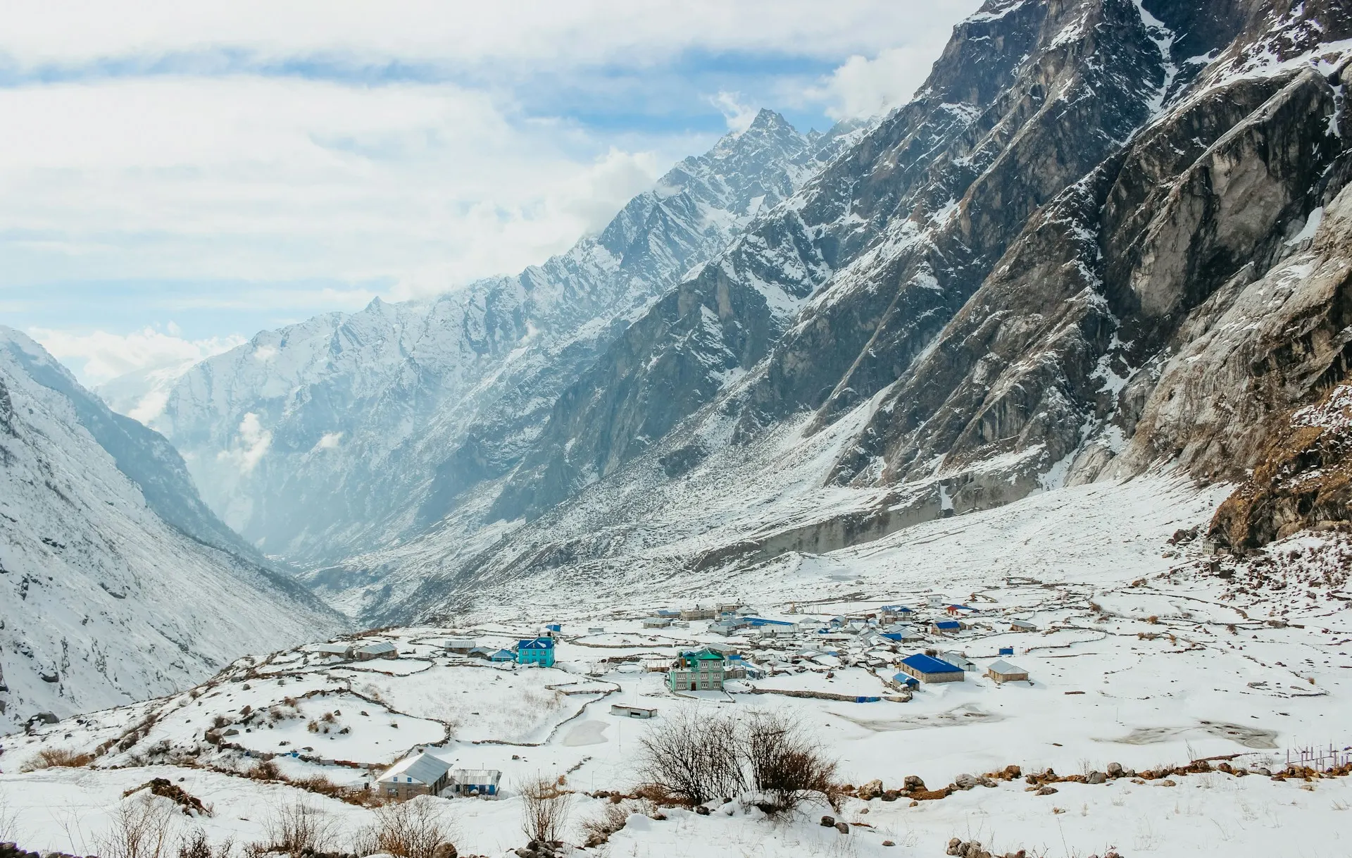
Can Beginners Handle the Langtang Valley Trek Elevation?
Beginners can complete the Langtang Valley Trek. Many do. The altitude is moderate, the trail is non-technical, and the itinerary allows for acclimatization. But “beginner” does not mean “unprepared.”
Beginners should not underestimate three things. First, the first day is genuinely hard. Over 1,000 metres of climbing through a forest gorge is a real physical test. Second, altitude affects everyone differently. You cannot predict how you will respond until you are there. Third, the return journey is not a rest. You descend over two days, which is easier than ascending, but your legs are tired and the cumulative fatigue is real.
The honest answer: if you can walk five to seven hours on consecutive days at home, with some hills involved, you can probably handle Langtang. If you cannot, you should train before you go.
Langtang Valley Trek Elevation vs Everest Base Camp
| Feature | Langtang Valley Trek | Everest Base Camp Trek |
|---|---|---|
| Highest sleeping altitude | 3,870 m (Kyanjin Gompa) | 5,364 m (EBC) or 5,164 m (Gorak Shep) |
| Highest point reached | 4,984 m (Tserko Ri) | 5,545 m (Kala Patthar) |
| Net elevation gain (trailhead to highest sleep) | 2,410 m | ~4,100 m |
| Acclimatization days | 1 (Kyanjin Gompa) | 2 (Namche, Dingboche) |
| Altitude sickness risk | Lower | Higher |
| Duration of high-altitude exposure | 2–3 days above 3,500 m | 5–7 days above 4,000 m |
The Langtang Valley Trek elevation is significantly lower than Everest Base Camp. The highest sleeping altitude is nearly 1,500 metres lower. The highest point reached is over 500 metres lower. The duration of high-altitude exposure is shorter.
This does not mean Langtang is “easy.” It means the altitude risk is lower, the acclimatization process is more forgiving, and the trek is a better choice for trekkers who are concerned about altitude sickness or who have not trekked at altitude before.
2026 Access and Elevation: What Changed and What Didn’t
On 26 August 2026, a rock and ice avalanche from the northern side of Langtang Lirung sent a flood down the Trishuli and Bhote Koshi rivers. The access road from Betrawati to Syabrubesi was destroyed. Syabrubesi Bazaar was severely damaged. The road through Dhunche to Syabrubesi remains closed while reconstruction is underway.
This is a temporary access disruption. It does not change the elevation of the trek. Kyanjin Gompa is still at 3,870 metres. Tserko Ri is still at 4,984 metres. The trail above Syabrubesi is intact. The mountains have not moved.
Trekkers planning Langtang for late 2026 or 2027 should verify access conditions before booking. Alternative approaches exist — the walk-in from Sundarijal via Helambu and Gosaikunda — but they add days and change the elevation profile. The standard elevation numbers in this article remain accurate for the trail itself. The question is how you get to the trailhead.
Common Elevation Mistakes
Confusing sleeping altitude with maximum altitude. Kyanjin Gompa is the highest sleep. Tserko Ri is the highest point. They are different numbers.
Assuming fitness prevents altitude sickness. It does not. Fit trekkers get AMS. Acclimatization is about ascent rate and individual physiology.
Rushing the first two days. The steepest elevation gain happens early, before altitude is a factor. Trekkers who push too hard on Day 2 and Day 3 often struggle later.
Skipping the Kyanjin Gompa rest day. The acclimatization day exists for a reason. Skipping it to save time increases the risk of altitude sickness on Tserko Ri.
Descending too fast. The return from Kyanjin Gompa to Lama Hotel drops 1,400 metres in one day. This is hard on the knees and can cause its own problems. Pole use and a steady pace help.
Ignoring symptoms because “it’s only 4,000 metres.” Altitude sickness can occur at any elevation above 2,500 metres. Symptom severity matters more than the number on your altimeter.
Planning Your Trek with Wonder Hikes Nepal
Wonder Hikes Nepal organises Langtang Valley treks with itineraries that respect the elevation profile. The company builds in the acclimatization day at Kyanjin Gompa, paces the first two walking days sensibly, and uses guides who are trained to recognise altitude symptoms and make conservative decisions.
If you are concerned about altitude, the team can advise on whether Langtang is the right trek for your experience level, recommend a slower itinerary if needed, or suggest alternative routes with lower sleeping altitudes. They can also arrange Yala Peak climbing for trekkers who want to add a summit to the valley trek — Yala Peak tops out at approximately 5,520 metres, which is higher than Tserko Ri but technically straightforward with guided support.
The company’s approach is practical. If the elevation profile does not suit your fitness or experience, they will say so. That kind of honesty is more useful than a hard sell.
[Plan your Langtang Valley Trek with Wonder Hikes Nepal →]
Final Thoughts
Langtang Valley Trek elevation is not extreme. The highest sleeping altitude is 3,870 metres. The highest point is 4,984 metres. The elevation gain is spread over four walking days, with a rest day built in. By Himalayan standards, this is a moderate altitude profile.
But “moderate” is not the same as “easy.” Altitude affects everyone differently. The first two days are steep. The acclimatization day matters. And the descent, while easier on the lungs, is hard on the legs.
Understanding the elevation profile — knowing exactly where you sleep, where you climb, and where the altitude becomes meaningful — is the difference between a trek you endure and a trek you enjoy. The numbers in this guide are not abstract. They are the shape of the journey you are about to take.
13. FAQs
1. What is the highest elevation of the Langtang Valley Trek?
The highest point reached on the standard route is Tserko Ri at approximately 4,984 metres. This is an optional day hike from Kyanjin Gompa. The highest sleeping altitude is Kyanjin Gompa at 3,870 metres.
2. What is the elevation of Kyanjin Gompa?
Kyanjin Gompa sits at approximately 3,870 metres. Some sources cite 3,830 m or 3,817 m. The most commonly accepted trekking figure is 3,870 m. It is the highest overnight stop on the standard route.
3. How high is Kyanjin Ri?
Kyanjin Ri has two viewpoints. The lower one is around 4,350 metres. The upper ridge is approximately 4,773 metres. Both are reached by day hike from Kyanjin Gompa.
4. How high is Tserko Ri?
Tserko Ri is approximately 4,984 metres. Some sources list 4,985 m, 4,996 m, or 5,033 m. The most widely cited figure is 4,984 m. It is the highest point reached on the standard Langtang Valley Trek.
5. Is the Langtang Valley Trek high altitude?
It is moderate altitude, not extreme. The highest sleeping altitude is below 4,000 metres, and the highest point is below 5,000 metres. This is lower than Everest Base Camp or the Annapurna Circuit, but altitude sickness can still occur above 2,500 metres.
6. How much elevation do you gain on the Langtang Trek?
The net gain from Syabrubesi (1,460 m) to Kyanjin Gompa (3,870 m) is 2,410 metres over four walking days. Including the Tserko Ri summit day and the return descent, cumulative ascent is roughly 3,000 to 3,500 metres.
7. Is altitude sickness common on the Langtang Trek?
Mild symptoms — headache, disturbed sleep, loss of appetite — are not uncommon above 3,500 metres. Severe altitude sickness is rare on the standard itinerary because the ascent is gradual and there is a rest day at Kyanjin Gompa. Individual response varies.
8. Can beginners handle the Langtang Valley Trek altitude?
Yes, with preparation. The altitude profile is moderate, the trail is non-technical, and the itinerary includes acclimatization. Beginners should train for consecutive walking days and pace themselves on the first two days.
9. How many acclimatization days are needed?
One rest day at Kyanjin Gompa is standard. Some trekkers benefit from a second night, especially if attempting Tserko Ri or if they felt symptoms on the ascent. More time is always safer than less.
10. What is the highest sleeping point in Langtang?
Kyanjin Gompa at 3,870 metres. You sleep here for two nights on the standard itinerary. There is no accommodation above this altitude on the standard route.
11. Which is higher, Kyanjin Ri or Tserko Ri?
Tserko Ri is higher at approximately 4,984 metres. Kyanjin Ri’s upper viewpoint is around 4,773 metres. Tserko Ri is also longer and more demanding.
12. How does Langtang elevation compare with Everest Base Camp?
Langtang’s highest sleeping altitude is 3,870 metres, compared with 5,364 metres at Everest Base Camp. The highest point on Langtang is 4,984 metres, compared with 5,545 metres at Kala Patthar. Langtang has significantly lower altitude exposure and lower altitude sickness risk.
13. How should I prepare for Langtang Trek altitude?
Train with uphill walking, stairs, or hiking on consecutive days. Build leg endurance and cardiovascular fitness. Arrive in Nepal rested. Follow a sensible itinerary. Stay hydrated. Do not rush the first two days. Do not ascend if symptoms are present.
14. What should I do if I get altitude sickness in Langtang?
Stop ascending. Rest, hydrate, and monitor symptoms. If symptoms are mild and improve with rest, you may be able to continue after a day. If symptoms worsen — severe headache, vomiting, breathlessness at rest, confusion — descend immediately. Communicate openly with your guide.
15. Does the 2026 flood affect Langtang Trek elevation?
No. The flood destroyed the access road to Syabrubesi, but the trail above Syabrubesi is intact. Kyanjin Gompa is still at 3,870 metres. Tserko Ri is still at 4,984 metres. The elevation profile of the trek itself is unchanged. Only the approach to the trailhead is affected.
Ready to plan your trek?
Tell us your dates and group size. We reply on WhatsApp within a few hours.