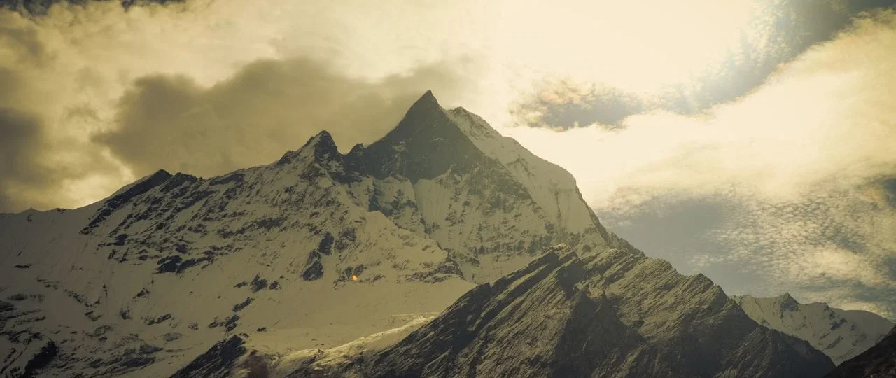
Annapurna I Nepal stands as one of the most significant mountains in mountaineering history — the first 8,000-meter peak ever climbed, an achievement that predates the ascent of Mount Everest by three full years. At 8,091 meters (26,545 feet), it ranks as the world’s 10th highest mountain, yet its reputation far exceeds its numerical standing. For experienced climbers, Annapurna I represents one of the most technically demanding and dangerous challenges in the Himalayas. For trekkers and travelers, it’s a mountain that can be admired from a distance — or, thanks to recent trail developments, experienced up close through the new Maurice Herzog Trail to Annapurna I Base Camp, without ever attempting a summit.
This is entirely separate from the famous Annapurna Base Camp (ABC) trek that most international visitors know — the one that approaches from Pokhara via Ghandruk and offers spectacular views of Annapurna South and Machhapuchhare from a different base camp at roughly 4,130 meters.
Both offer incredible experiences, but they are not the same destination, and understanding the difference is key to planning your trip. This guide covers everything you need to know: its history, its dangers, its climbing logistics, how Annapurna I compares to the trekking routes that share its name, and how ordinary travelers can see it for themselves.
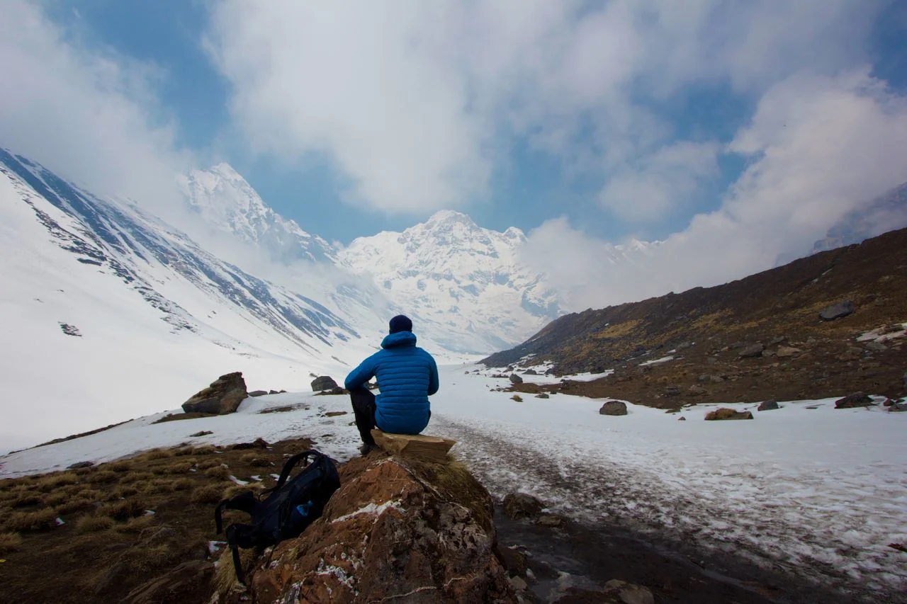
Quick Facts — Annapurna I, Nepal
| Fact | Detail |
|---|---|
| Elevation | 8,091 m (26,545 ft) |
| World ranking | 10th highest mountain |
| Nepal ranking | 8th highest |
| First ascent | June 3, 1950 |
| First ascenders | Maurice Herzog and Louis Lachenal (France), without supplemental oxygen |
| Coordinates | 28°35′43″N, 83°49′11″E |
| Location | Gandaki Province, Nepal (between Myagdi and Kaski districts) |
| Massif length | 55 kilometers |
| Prominence | 2,984 m |
| Conservation Area | Annapurna Conservation Area (7,629 km², Nepal’s largest) |
| Successful summits (as of June 2026) | 572 climbers |
| Recorded deaths | 75 |
| Fatality-to-summit ratio | 13.11% (historical high ~32%) |
| Climbing season | Spring (April–May) and autumn (September–October) |
What Is Annapurna I?
Annapurna I is the highest peak in the Annapurna massif — a 55-kilometer-long ridge in north-central Nepal bounded by the Kali Gandaki River gorge to the west and the Marsyandi River to the east. The name comes from Sanskrit: Anna (food or grain) and Purna (full or abundant). In Hindu mythology, Annapurna is a goddess of nourishment and abundance, an incarnation of Parvati, revered for sustaining life . Local communities refer to the massif as the “giver of food,” tied to the glaciers and rivers that sustain agriculture in the region.
The massif contains 13 peaks above 7,000 meters and 16 above 6,000 meters . Annapurna I is just one — the highest — of these peaks:
| Peak | Elevation | Notable Fact |
|---|---|---|
| Annapurna I | 8,091 m | 10th highest in the world; first 8,000er climbed |
| Annapurna II | 7,937 m | Eastern anchor of the massif |
| Annapurna III | 7,555 m | Known for technical climbing challenges |
| Annapurna IV | 7,525 m | Often climbed with or near Annapurna II |
| Gangapurna | 7,455 m | Lies above the Manang Valley |
| Annapurna South | 7,219 m | Forms the southern wall of the Sanctuary |
| Machapuchare | 6,993 m | “Fishtail Mountain”; sacred and unclimbed |
The mountain was initially surveyed by the British in the 19th century and recorded as “Peak XXXIX,” with an original elevation estimate of 8,075 meters. That figure was later refined to 8,078 meters, then finally fixed at 8,091 meters in the 1963 map revision. Today, the 8,091 m figure is universally accepted .
The Mountain That Started It All
Annapurna I holds a place in mountaineering history that no other 8,000-meter peak can claim: it was the first to be climbed.
On June 3, 1950, French mountaineers Maurice Herzog and Louis Lachenal reached the summit of Annapurna I, making history three full years before Edmund Hillary and Tenzing Norgay climbed Everest . They did it without supplementary oxygen — a fact that still surprises many people today.
The 1950 Expedition
The expedition, organized by the French Alpine Club and approved by the Nepalese government — the first such permission in over a century — included a remarkable team :
-
Maurice Herzog (leader)
-
Louis Lachenal (skilled Chamonix guide)
-
Lionel Terray (powerful, experienced alpinist)
-
Gaston Rebuffat (Chamonix guide known for technical prowess)
-
Jean Couzy and Marcel Schatz (strong climbers)
-
Francis de Noyelle (diplomat facilitating logistics)
-
Jacques Oudot (expedition doctor)
-
Marcel Ichac (filmmaker documenting the expedition)
The Sherpa team included Ang Tharkay Sherpa (sirdar), Ajiba Sherpa, Ang Dawa Sherpa, Ang Tshering Sherpa, Dawa Thondup Sherpa, Ila Sherpa, Phu Tharkey Sherpa, and Sarki Sherpa .
Change of Plans
The expedition began in mid-April 1950, with the team traveling from India to Nepal’s Kali Gandaki Valley. Originally, Herzog’s team had climbing permits for both Dhaulagiri I and Annapurna I .
The climbers first set their sights on Dhaulagiri I. From their base in Tukucha at 3,000 m in the Kali Gandaki Valley, they explored the area around the Miristi Khola river and the east of Dhaulagiri Glacier for potential routes. However, after reconnaissance of Dhaulagiri I’s Southeast Ridge and northern side, the mountain seemed too difficult, especially with not much time before the monsoon season arrived. Instead, the team decided to shift to Annapurna I .
As Herzog wrote in the Alpine Journal: “As to Annapurna, we knew the northern slopes were accessible, but apart from that, although we had hopes, we could not be sure that the expedition could find a way up. We thought there were three possible routes, but only the glacier route proved practicable” .
Time was short. The expedition had to explore, scout, and climb the mountain in a single season — an unprecedented feat.
Route-Finding
The distance between Dhaulagiri and Annapurna is approximately 35 to 40 km, and the two peaks are separated by the Kali Gandaki Gorge, one of the deepest gorges in the world .
Herzog’s party arrived in the Annapurna region in early May. The approach offered them several challenges: dense forests and treacherous moraines. The team initially explored the North and East faces of Annapurna I, but the complex terrain and lack of viable routes forced them to reconsider. Herzog, with input from Terray and Rebuffat, decided to focus on the North Face, which offered a feasible but difficult way to the summit .
According to Herzog’s report, the other possibility — the East Glacier route — would have been technically more demanding. Their final decision was critical, as the monsoon’s approach left no room for further delays.
The Camps
The route up Annapurna’s North Face began with the establishment of Base Camp at 4,500 m on May 18. From there, the team set up five further camps :
-
Camp 1: Established after navigating through seracs and crevasses
-
Camp 2: Positioned on a small platform amid the steep ice slopes
-
Camp 3: A precarious site on the face
-
Camp 4: The final high camp before the summit push
The summit push was punishing. Herzog and Lachenal reached the top in fierce conditions; both suffered severe frostbite. Herzog later famously wrote, “There are other Annapurnas in the lives of men” — a line that speaks to both the mountain and the personal cost of climbing it. The expedition doctor, Jacques Oudot, performed amputations on Herzog’s fingers and toes after the descent . All climbers survived — a result that was itself remarkable.
Herzog’s book about the expedition became one of the best-selling mountaineering titles of all time, translated into more than 40 languages, and arguably introduced Nepal’s mountain tourism to the global public.
The Annapurna Massif — More Than One Peak
Annapurna I is not a standalone mountain. It sits within a dense cluster of high peaks, and understanding that context helps clarify what makes Annapurna I significant — and why it is often confused with the broader “Annapurna” name.
The Annapurna massif extends approximately 55 kilometers in length and is a collection of over 30 mountain peaks . Prominent peaks among them include Annapurna I, II, III, IV, and Gangapurna . Annapurna I is the highest among them and the most popular .
| Peak | Height | First Ascent |
|---|---|---|
| Annapurna I | 8,091 m | 1950 (Herzog/Lachenal) |
| Annapurna II | 7,937 m | 1960 (Grant/Bonington/Nyima) |
| Annapurna III | 7,555 m | 1955 (German team) |
| Annapurna IV | 7,525 m | 1955 (German team) |
| Annapurna South | 7,219 m | — |
| Annapurna Central | 8,051 m | Secondary peak above 8,000 m |
| Annapurna East | 8,010 m | Secondary peak above 8,000 m |
The South Face of Annapurna was first climbed in 1970 by a British expedition led by Chris Bonington . As of 2022, the Himalayan Database recorded 395 summits of Annapurna I, of which 222 were without oxygen . By June 2026, the Department of Tourism recorded 572 total summiters . The recent increase — including more than 40 climbers in the spring 2026 season alone — reflects Annapurna’s growing popularity among high-altitude climbers.
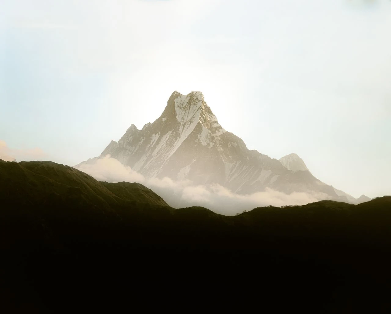
Climbing Annapurna I — One of the World’s Most Demanding Mountains
Annapurna I is not Everest. It’s shorter but arguably far more dangerous.
Why Is Annapurna I Considered So Dangerous?
The statistics are sobering. Historically, the peak carried a grim death rate that hovered around thirty-two percent — roughly one in three climbers did not return home . Modern mountaineering advancements have brought the cumulative fatality-to-summit ratio down to approximately 13.11% (75 deaths out of 572 successful summits as of 2026) .
However, by per-climber fatality rate, Annapurna I remains the deadliest 8,000-meter peak at approximately 27-32% — meaning roughly 1 in 4 climbers who attempt it do not survive . This is higher than K2 (22-25%) .
The reasons for this are:
-
Avalanche risk: The mountain’s standard routes run beneath enormous, active avalanche and serac slopes that release without warning. Avalanches cause more Annapurna fatalities than all other causes combined .
-
Objective danger: The hazard is “objective” — meaning it cannot be eliminated by timing, skill, or route choice. It is distributed across the whole face rather than confined to one section like K2’s Bottleneck .
-
Technical difficulty: The North Face involves steep ice and rock sections at extreme altitude. It is not a “walk-up” in the way some Everest routes are sometimes described.
-
Unpredictable weather: Annapurna intercepts monsoon weather before most central Himalayan peaks. Pre-monsoon snowfall after May 15 sharply increases avalanche loading — teams that miss the early-May window often find conditions deteriorating faster than expected .
-
Extreme altitude illness: HACE and HAPE are common above 7,000 m even in well-acclimatized teams; the technical North Face means more time at extreme altitude per attempt than on more direct routes .
Success and Turnaround Rates
The success rate on Annapurna I has improved modestly from the pioneering era to the modern period, but remains the lowest of any regularly-climbed 8,000er :
| Metric | Rate |
|---|---|
| Overall success rate (1950-2025) | ~16% — lowest of any regularly-climbed 8,000er |
| Modern North Face success rate | ~24% in good seasons |
| Turnaround cause: Avalanche | 42% of turnarounds |
| Turnaround cause: Weather | 26% of turnarounds |
| Rescue rate | 1 in 16 per season |
The key insight: the fatality rate has not improved in step with the success rate. Annapurna remains categorically more dangerous per attempt than any other peak in the database .
Major Climbing Routes
The original route was the North Face, first climbed in 1950 . The South Face was first climbed in 1970 by Don Whillans and Dougal Haston of Bonington’s expedition .
Today, most expeditions use the North Face route via the Northwest Ridge, establishing multiple camps above base camp. The approach typically takes climbers through the Maurice Herzog Trail to base camp (at approximately 4,190 m), then to Camp I, Camp II, and Camp III before a summit push.
In 2013, Ueli Steck made a solo climb of the Lafaille route on the South Face in 28 hours from base camp to summit and back — one of the most impressive Himalayan climbs in history.
When Is the Climbing Season?
The primary climbing season for Annapurna I is spring (April–May), with some activity in autumn (September–October). During spring 2026, four expedition teams comprising 27 climbers were permitted to attempt the mountain . More than 40 climbers reached the summit on a single summit day in April 2026 .
The best weather window is typically May 1-15, before the pre-monsoon snowfall begins .
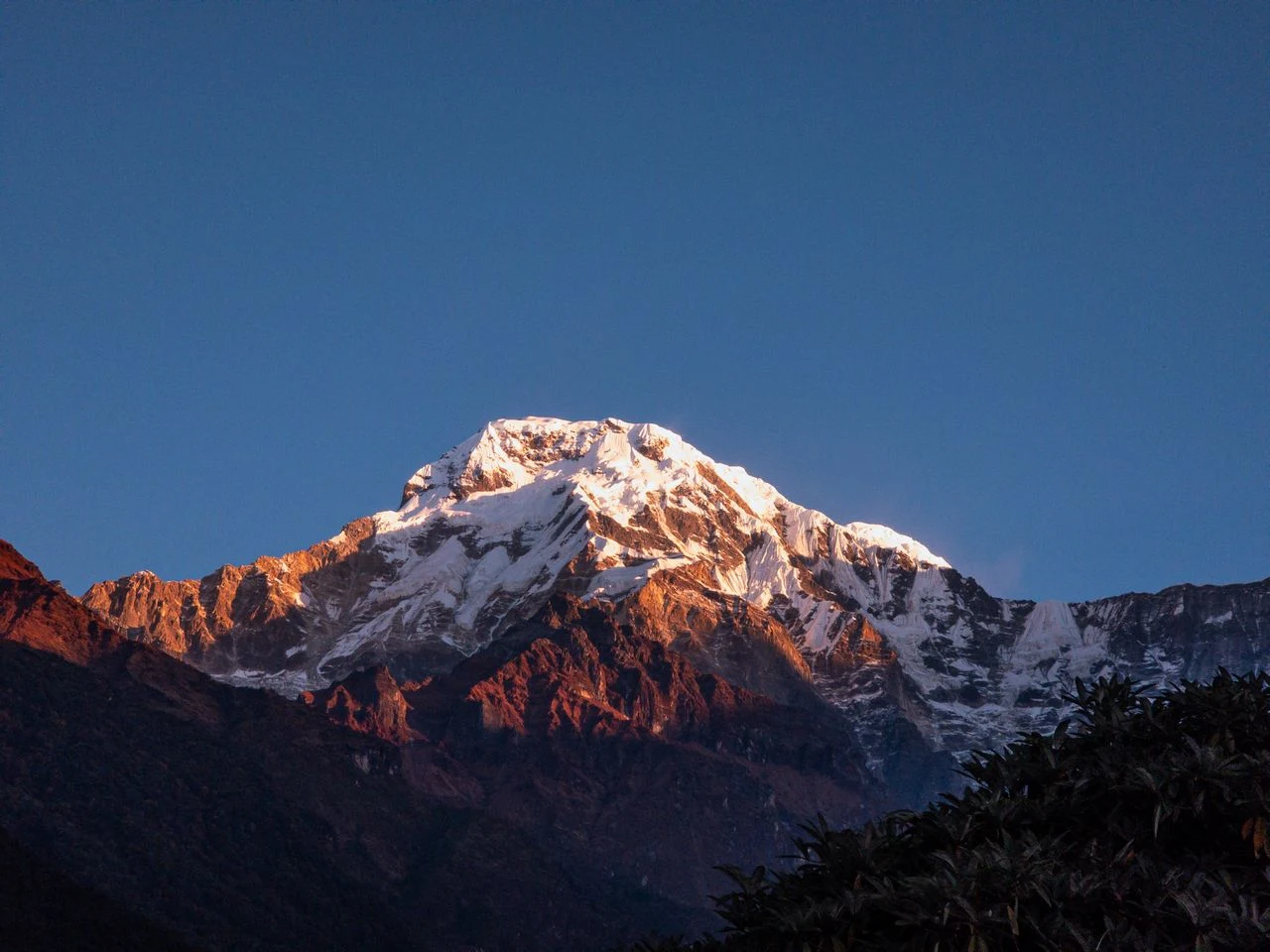
Experience Required
Annapurna I is a mountaineer’s mountain. It is not suitable for first-time 8,000-meter climbers. Recommended prerequisites include:
-
Previous 8,000-meter experience
-
Technical ice and rock climbing skills at high altitude
-
Demonstrated ability on mountains like Manaslu or Everest (though the technical demands differ)
-
Experience with objective hazards and avalanche terrain
Environmental Trekking describes it as “one of the most dangerous mountain to climb after Kanchenjunga and K2,” with “pretty steep climbs, glacier walking, risks of avalanches and trailing by way of fixed ropes” . The dangers of frostbite and gangrene on the ascent are maximum on Annapurna .
Logistics and Expedition Structure
Most Annapurna I expeditions follow a 40-day itinerary:
-
Arrival in Kathmandu and preparation (2–3 days)
-
Flight to Pokhara
-
Drive to trailhead and trek/hike to base camp
-
Acclimatization at base camp (several days)
-
Climbing period: establishing higher camps and summit push (approximately 26 days)
-
Helicopter flight from base camp to Pokhara, then return to Kathmandu
Base camp sits at an elevation of 4,190 m .
Permit and Cost Considerations
Climbing Annapurna I requires multiple permits: ACAP (Annapurna Conservation Area Permit), TIMS (Trekkers’ Information Management System), and a specialized climbing permit from the Department of Tourism.
Expedition costs typically range from $14,000 to $50,000 USD, depending on services, oxygen usage, and Sherpa support :
-
Basic expedition: $14,000–$25,000
-
Fully supported with oxygen: $25,000–$50,000
Climbers should also budget approximately $2,500 for a rescue deposit (covered by insurance) and a summit bonus for climbing Sherpas — typically $1,000–$1,500 above Camp III.
First Winter Ascent
On February 3, 1987, Polish climbers Jerzy Kukuczka and Artur Hajzer made the first winter ascent of Annapurna I. It remains one of the most impressive winter ascents in Himalayan history.
First All-Women Expedition
In 1978, the American Women’s Himalayan Expedition, led by Arlene Blum, became the first U.S. team to summit Annapurna I. Vera Komarkova and Irene Miller, with Sherpas Mingma Tsering and Chewang Ringjing, reached the summit on October 15, 1978. Tragically, Alison Chadwick-Onyszkiewicz and Vera Watson died during the expedition.
How Ordinary Travelers Can Experience Annapurna I
Most people who visit the Annapurna region will never climb Annapurna I. But there are excellent options to see the mountain without attempting a summit.
The Maurice Herzog Trail — A New Trekking Route
A significant development in recent years is the opening of the Maurice Herzog Trail, which follows the original 1950 expedition route from Humkhola to Annapurna Base Camp . Named after the French climber who led the first ascent, this trail offers a way for trekkers to experience the mountain’s approach without technical climbing.
Key information:
| Detail | Information |
|---|---|
| Start point | Humkhola, Myagdi District |
| End point | Annapurna Base Camp (4,190 m) |
| Trail length | 22 kilometers |
| Typical duration | 2 days to base camp, 1 day return |
| Road access | 20 km road from Narchang to Humkhola |
| Bridges | 68 wooden bridges constructed along the route |
The trail was officially mapped and designated the “Maurice Herzog Trail” by the Annapurna Rural Municipality in 2077 BS (2020 AD) . After more than a decade of focused effort — including the construction of 68 wooden bridges — the trail was declared fully operational three years ago .
What you’ll see:
-
Panoramic views of the Annapurna and Nilgiri mountain ranges
-
The glacial Panchkunda Lake at 4,050 m — fed by meltwater from Annapurna’s snowfields, covering approximately 17,684 square meters. The sight of Annapurna Himal mirrored in the pristine waters is the trail’s highlight .
-
Waterfalls, alpine landscapes, and glacial rivers
-
Rare flora and fauna
-
Historical commemoration: Statues of expedition members Maurice Herzog, Louis Lachenal, and Sonam Balung Sherpa, plus an open-air museum with a copper plaque engraved with the names of all 536 individuals who have successfully conquered Annapurna I .
The development of this corridor is viewed by local planners as a vital lifeline, transforming a remote wilderness into a managed and accessible tourist corridor .
Important practical considerations:
-
The base camp receives more than 200 visitors per day during peak seasons (spring and autumn), but existing temporary restaurant facilities can only accommodate about 50 guests .
-
The area is under strict control through the ACAP (Annapurna Conservation Area Project), so permanent infrastructure is subject to careful government oversight and environmental protection .
-
Temporary lodges and tea shops are available along the route.
Annapurna Base Camp Trek (Traditional Route)
The famous Annapurna Base Camp trek — the one that most international trekkers do — reaches a different base camp: the South Base Camp at approximately 4,130 m, below Annapurna South and Machhapuchhare. From there, you can see the southern faces of the Annapurna massif, including Annapurna I in the distance. This is the trek most people mean when they say they “went to Annapurna Base Camp.”
The traditional ABC trek typically takes 7–12 days and starts from Pokhara via Ghandruk or Poon Hill.
Annapurna Circuit Trek
The Annapurna Circuit is a multi-day trek that circles the entire massif, crossing Thorong La pass at 5,416 m. While it offers stunning views of Annapurna II, III, IV, and the surrounding peaks, it does not go to Annapurna I base camp. The Circuit is a classic Nepali trekking route — but it is not a mountaineering expedition. Typical duration is 15–21 days.
Viewing Annapurna I from Distance
For the casual traveler, the best views of Annapurna I are from Pokhara and nearby Sarangkot, with the mountain visible on clear mornings. From Pokhara, Annapurna I appears as a dramatic triangular peak, often lit pink and gold at sunrise. The views from Sarangkot, a 30-minute drive from Pokhara, are among the most photographed in Nepal.
Comparing Annapurna I, Annapurna Base Camp, and Annapurna Circuit
This is where much of the confusion lies. Here’s a direct comparison:
| Annapurna I | Annapurna Base Camp (Trek) | Annapurna Circuit | |
|---|---|---|---|
| What it is | A mountain peak | A trekking destination | A trekking route |
| Activity | Technical mountaineering | Walking/trekking | Walking/trekking |
| Elevation | 8,091 m summit | ~4,130 m base camp | Up to 5,416 m (Thorong La) |
| Who it’s for | Experienced mountaineers | Fit trekkers | Fit trekkers |
| Time required | ~40 days | ~7–12 days | ~15–21 days |
| Danger level | High (fatalities possible) | Low (basic trekking risks) | Low (altitude sickness risk at pass) |
| How to see Annapurna I | From the summit | From a distance | From a distance |
| Best season | April–May | March–May, Sept–Nov | March–May, Sept–Nov |
| Cost | $14,000–$50,000 | $1,000–$2,500 | $1,500–$3,500 |
Annapurna I vs Mount Everest — Two Different Worlds
Annapurna I is 8,091 m — 856 meters shorter than Everest’s 8,848.86 m. But in the mountaineering community, Annapurna commands a different kind of respect.
| Comparison | Annapurna I | Mount Everest |
|---|---|---|
| Height | 8,091 m (10th) | 8,848.86 m (1st) |
| First ascent | 1950 | 1953 |
| Total summits | 572 (as of 2026) | ~7,000+ |
| Fatality rate | ~27-32% per attempt | ~2-4% per attempt |
| Key hazard | Avalanche, serac fall | Altitude, crevasses |
Everest is higher; Annapurna is often considered harder. The objective hazards on Annapurna — primarily avalanche and serac danger — exceed those on Everest’s standard routes. The North Face of Annapurna is a technical climb; Everest’s South Col route is largely a snow-plod with a single rock step that is now heavily guided.
Annapurna was climbed first (1950 versus 1953) and was the highest summit attained by humans for three years . That achievement, pre-dating Everest, gives Annapurna a special place in mountaineering history.
While Everest now sees hundreds of summits per season (880 in spring 2026 alone ), Annapurna sees around 40 to 50 per year at most . It is not commercialized to the same degree.
Conservation and Environmental Context
The Annapurna region is protected within the Annapurna Conservation Area, Nepal’s largest at 7,629 km². This is not a national park — it’s a conservation area where local communities are involved in managing natural resources and preserving cultural heritage.
The Conservation Area is managed by the ACAP (Annapurna Conservation Area Project) under the National Trust for Nature Conservation. All visitors to the region — whether trekkers or climbers — must pay the ACAP permit fee, which supports conservation and community development projects.
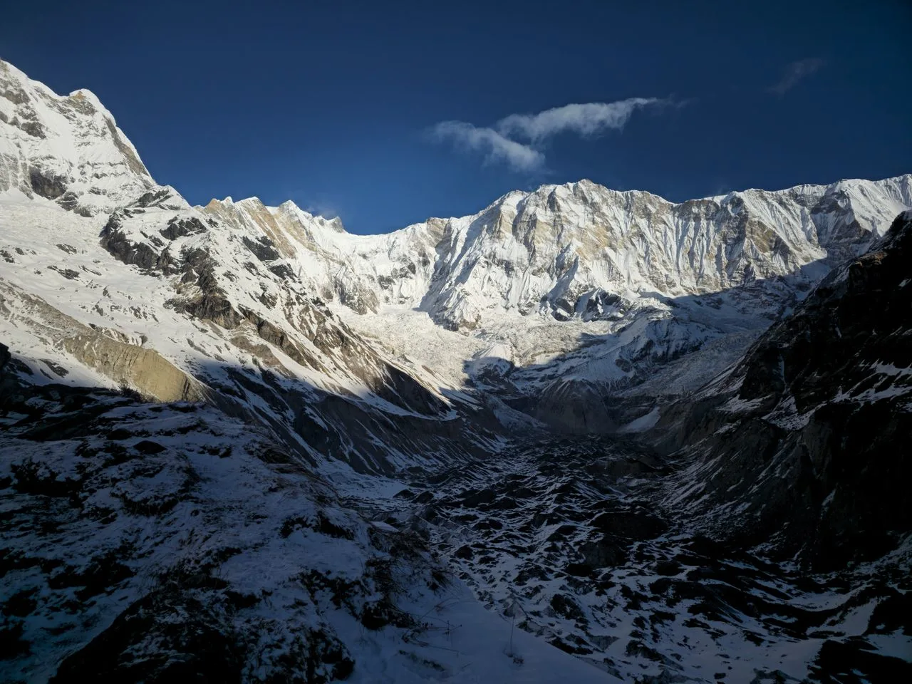
The area’s fragile mountain ecosystems, including the glacial lakes and alpine pastures along the Maurice Herzog Trail, are under increasing pressure from growing tourist numbers. The Panchkunda Lake and other glacial features are also sensitive indicators of climate change — Himalayan glaciers have been retreating rapidly over recent decades, reshaping the landscape that trekkers and climbers experience.
Responsible Tourism and Practical Advice
Whether you’re climbing Annapurna I or trekking to its base camp, here are some practical guidelines:
-
Permits are mandatory: ACAP permit, TIMS card, and for climbers, a climbing permit from the Department of Tourism.
-
Altitude safety: The highest-risk period above 7,000 m requires careful acclimatization. Even trekkers on the Maurice Herzog Trail should be aware of altitude sickness symptoms.
-
Insurance: Rescue and medical evacuation insurance is essential — maximum-limit evacuation insurance is recommended for both climbers and trekkers in the region .
-
Season: Spring (April–May) and autumn (September–October) are the best times for both climbing and trekking.
-
Community support: The Maurice Herzog Trail was developed with local community involvement. Staying in local tea shops and using local services benefits the economy.
-
Environmental responsibility: Leave no trace. The ACAP area is protected for a reason — carry out what you carry in.
Ready to Plan Your Annapurna Circuit Trek with Wonder Hikes Nepal?
The Annapurna Circuit is one of the world’s great treks—a journey through diverse landscapes, cultures, and altitudes that few other routes can match. From the lush subtropical valleys and terraced farmland to the high-altitude, rugged terrain of Thorong La Pass at 5,416 meters, this is a trek that rewards you with breathtaking panoramic views of the entire Annapurna massif, including Annapurna I (8,091m) , Dhaulagiri, Nilgiri, and Gangapurna peaks. The Annapurna Circuit cost is significant but represents exceptional value for what you receive.
Note: The Annapurna Circuit is a trekking route that circles the Annapurna massif — it does not involve climbing Annapurna I itself. For those seeking close-up views of the mountain’s North Face, the newly developed Maurice Herzog Trail offers a separate 22-kilometer trek to Annapurna I Base Camp.
FAQs about Annapurna I Nepal
Q: How tall is Annapurna I?
Annapurna I is 8,091 meters (26,545 feet) above sea level .
Q: Where is Annapurna I located?
Annapurna I is in Nepal’s Gandaki Province, in the Annapurna massif, between Myagdi and Kaski districts. It lies approximately 200 kilometers northwest of Kathmandu .
Q: Is Annapurna I the highest peak in Nepal?
No. Annapurna I ranks as Nepal’s 8th highest peak. Mount Everest (Sagarmatha) is highest at 8,848.86 m, followed by Kanchenjunga, Lhotse, Makalu, Cho Oyu, Dhaulagiri I, and Manaslu before Annapurna I.
Q: Who first climbed Annapurna I?
Maurice Herzog and Louis Lachenal, both French, made the first ascent on June 3, 1950, without supplementary oxygen .
Q: Is Annapurna I the most dangerous mountain?
Annapurna I has historically had the highest fatality-to-summit ratio of any 8,000-meter peak — approximately 27-32% per attempt . While improvements in equipment and logistics have reduced the cumulative ratio, it remains one of the most dangerous. The critical distinction: its danger is objective and uncontrollable — avalanches and serac falls make it deadlier than K2 by ratio, even though K2 is considered the harder technical climb .
Q: Can you climb Annapurna I without oxygen?
Yes — and some people still do. The 1950 first ascent was without oxygen. As of 2026, 222 of 572 summits were without oxygen . However, this is extremely dangerous and only for the most experienced high-altitude climbers.
Q: When is the best time to climb Annapurna I?
Spring (April–May) is the primary season, with a short window in autumn (September–October). The best weather window is typically May 1-15 .
Q: How much does an Annapurna I expedition cost?
A fully supported Annapurna I expedition typically costs between $14,000 and $50,000 USD, depending on services, oxygen usage, and Sherpa support .
Q: How long does an Annapurna I expedition take?
Most expeditions follow a 40-day itinerary from arrival in Kathmandu to departure.
Q: Can you see Annapurna I without climbing it?
Yes. From Pokhara and Sarangkot on clear mornings, or via the new Maurice Herzog Trail which takes trekkers to Annapurna I Base Camp at 4,190 m in two days .
Q: Is Annapurna Base Camp the same as climbing Annapurna I?
No. The Annapurna Base Camp trek takes you to a viewing point below Annapurna South. It is a multi-day hike, not a mountaineering expedition.
Q: What is the Annapurna Circuit?
The Annapurna Circuit is a multi-day trekking route that circles the Annapurna massif, crossing Thorong La pass at 5,416 m. It is a walking route, not a climb.
Q: How many people have climbed Annapurna I?
As of June 2026, 572 climbers have successfully summited Annapurna I, according to Nepal’s Department of Tourism .
Q: What is the Maurice Herzog Trail?
A newly developed trekking route following the 1950 expedition’s approach to Annapurna I Base Camp. It starts at Humkhola, is 22 kilometers long, and takes two days to reach base camp via Panchkunda Lake at 4,050 m .
Q: What safety considerations should I be aware of?
For climbers: avalanche risk is the primary danger — 42% of turnarounds result from avalanche events . Maximum-limit evacuation insurance is essential . For trekkers: altitude sickness is the main risk on the Maurice Herzog Trail and traditional ABC trek; proper acclimatization is key. Always check current conditions before committing to any trip.