Nepal Elevation
The short answer to “What is Nepal’s elevation?” is this: Nepal starts at approximately 59 meters above sea level and rises to 8,848.86 meters at the summit of Mount Everest. That is not a small detail. It is one of the most extreme vertical ranges on Earth, and it defines everything about the country—from where people live to how travelers move through the landscape.
But a single range is not the whole story. If you are planning a trek, trying to understand altitude sickness, or simply curious about why this small country contains so many of the world’s highest mountains, you need more than two numbers. This guide explains what Nepal’s elevation actually means, how it shapes the country, and what it means for your trip.
Nepal Elevation at a Glance
Before going deeper, here is the quick reference that most people are searching for.
| Measurement | Value | Notes |
|---|---|---|
| Highest point | 8,848.86 m / 29,031.7 ft | Mount Everest, on the Nepal–China border |
| Lowest point | about 59 m / 194 ft | Near Kechana Kawal in Jhapa District, southeastern Terai |
| Kathmandu | about 1,400 m / 4,593 ft | Moderate elevation; most travelers notice little altitude effect |
| Pokhara | about 827 m / 2,713 ft | Lakeside city, lower and warmer than Kathmandu |
| Average elevation | about 2,565 m / 8,415 ft | Commonly cited, but not the most useful number for travelers |
| Total vertical relief | about 8,790 m / 28,839 ft | One of the largest elevation gradients in the world relative to country size |
This table matters because Nepal is often described as “a mountainous country.” That is true, but it hides the fact that a large part of Nepal is flat, low-lying, and subtropical. The country is not uniformly high. It is a place of extreme contrast.
Elevation vs. Altitude: What’s the Difference?
Before going further, it is worth clarifying two words that are often used interchangeably.
Elevation is the height of a fixed point on the land above sea level. Kathmandu has an elevation of about 1,400 meters. That number does not change.
Altitude is usually used to describe the height of an object or person above sea level, or the physiological environment you are in. When trekkers talk about “high altitude,” they are usually talking about the effects of being at a certain elevation.
In practice, when someone searches for “Nepal elevation,” they usually mean the elevation of the country or of specific places. When they say “altitude sickness,” they are referring to how the body reacts to higher elevation. Understanding that distinction helps make sense of the rest of the information.
Why Nepal’s Elevation Is So Extreme
Nepal’s elevation is not random. It is the direct result of a slow-motion collision.
Around 50 million years ago, the Indian tectonic plate began colliding with the Eurasian plate. Because both plates are relatively light continental crust, neither one simply slid under the other. Instead, the crust crumpled, folded, and pushed upward. That collision created the Tibetan Plateau and the Himalayan mountain range.
The process is still happening. The Indian plate continues to move northward, and the Himalayas are being pushed higher by roughly one centimeter each year. This is also why Nepal experiences significant earthquakes, including the 2015 Gorkha earthquake.
What makes Nepal’s elevation so unusual is not just the height of the mountains, but the speed of the transition. From the lowland Terai near the Indian border to the summit of Everest, the distance is well under 200 kilometers. Very few places on Earth rise so quickly. This is why a traveller can be in hot, tropical jungle in the morning and in cold, thin mountain air within a matter of days.
Nepal’s Three Elevation Bands
To understand Nepal, it helps to picture the country in three broad elevation bands.
1. The Terai: Lowland Nepal
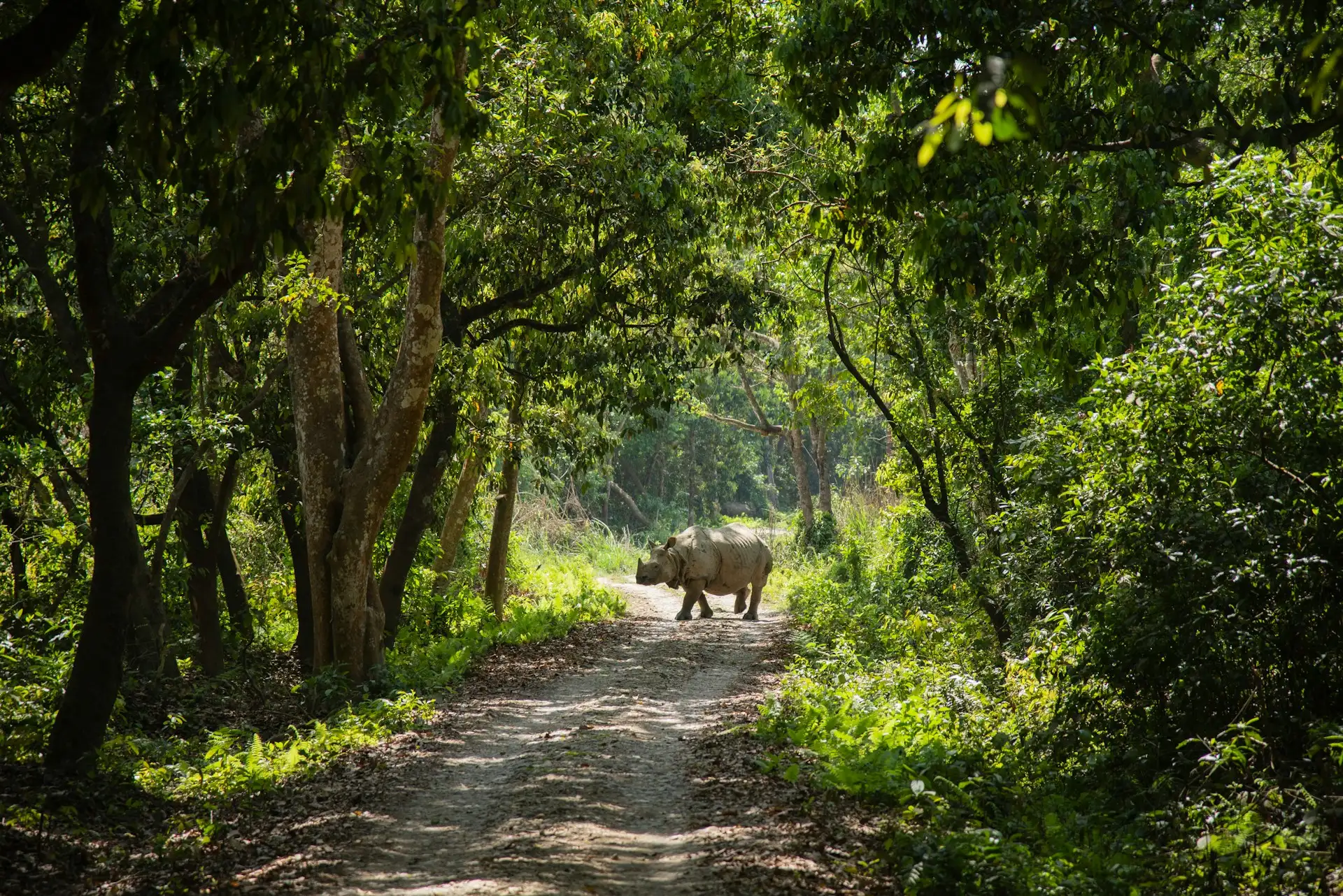
The Terai is the southernmost strip of Nepal, bordering India. It sits between roughly 60 and 500 meters above sea level.
This region is flat, hot, and fertile. It is home to Nepal’s lowest point, near Kechana Kawal in Jhapa District. The Terai contains many of Nepal’s farms, market towns, and wildlife reserves, including Chitwan National Park and Bardia National Park.
If you have only seen photos of Everest, the Terai may surprise you. It looks more like the tropical plains of India than the popular image of Nepal.
2. The Mid-Hills: The Heart of Nepal
Above the Terai, the land rises into the mid-hills, sometimes called the Pahad. This zone generally ranges from about 500 to 3,000 meters.
This is where most Nepalis live. Kathmandu sits at about 1,400 meters. Pokhara is lower, around 827 meters. Hill towns like Bandipur and Nagarkot sit between 1,000 and 2,200 meters.
The mid-hills have a temperate climate. Winters are cool, summers are warm, and the landscape is a mix of terraced farmland, forests, and river valleys. For most travelers, the mid-hills feel comfortable and accessible.
3. The High Himalaya: The Roof of the World
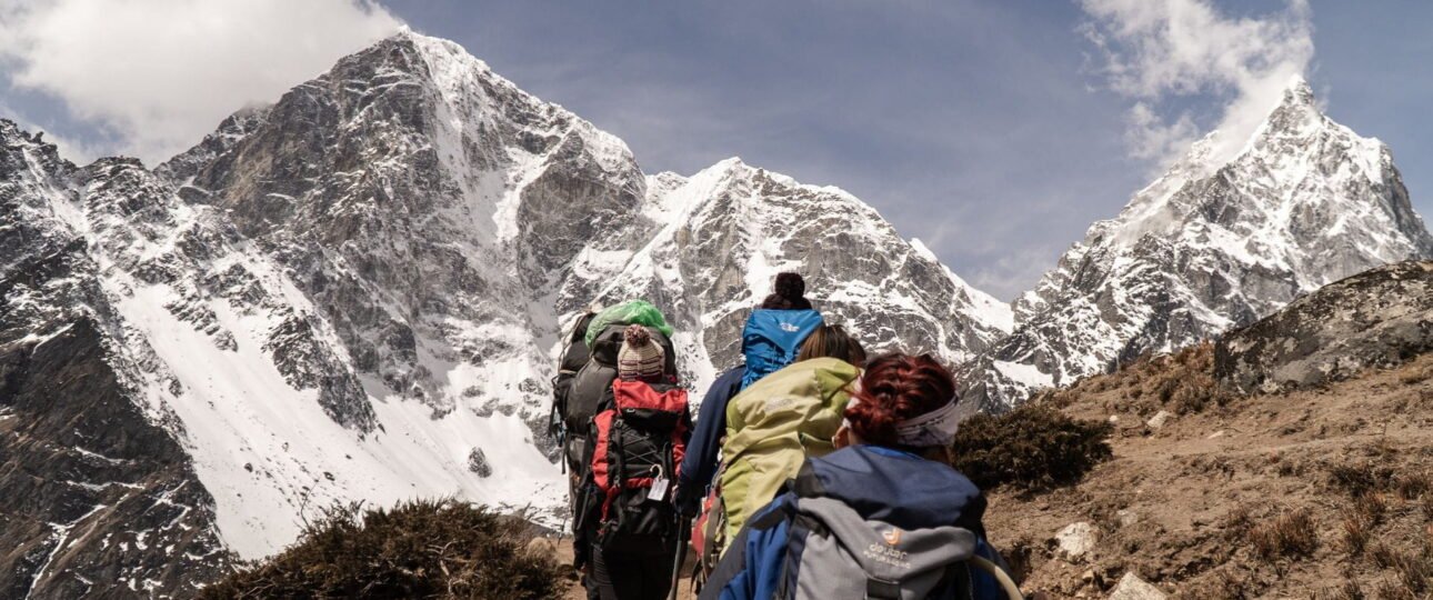
From about 3,000 meters upward, Nepal enters the high Himalayan zone. This is the world of alpine meadows, rocky ridges, glaciers, and the great eight-thousanders.
This is where trekking routes like Everest Base Camp, Annapurna Circuit, and Manaslu Circuit operate. Villages become smaller and more scattered. The air thins, the vegetation changes, and the landscape opens into huge mountain panoramas.
Key Elevations for Travelers and Trekkers
One of the most useful things to know about Nepal’s elevation is how it plays out in real destinations. The table below includes important places for travelers.
| Destination | Approximate Elevation | Why It Matters |
|---|---|---|
| Chitwan National Park | 100–815 m | Lowland jungle, hot and humid |
| Pokhara | 827 m | Lakeside city, gentle starting point for treks |
| Bandipur | 1,030 m | Hill town with panoramic views |
| Kathmandu | 1,400 m | Capital, moderate elevation |
| Nagarkot | 2,195 m | Popular viewpoint near Kathmandu |
| Lukla | 2,845 m | Gateway to Everest trekking |
| Namche Bazaar | 3,440 m | Main Sherpa town on the Everest route |
| Tengboche | 3,870 m | Famous monastery on the Everest trail |
| Annapurna Base Camp | 4,130 m | High-altitude amphitheater below Annapurna |
| Gosaikunda Lake | 4,380 m | Sacred high-altitude lake |
| Thorong La Pass | 5,416 m | Highest point of the Annapurna Circuit |
| Gokyo Ri | 5,357 m | Panoramic viewpoint in the Gokyo Valley |
| Everest Base Camp | 5,364 m | The classic high-altitude goal |
| Kala Patthar | 5,545 m | Best close-up Everest viewpoint |
These numbers are not just trivia. They explain why certain places feel the way they do. Kathmandu at 1,400 meters is rarely a problem for healthy travelers. But by the time you reach Namche Bazaar at 3,440 meters, the air is noticeably thinner. At Everest Base Camp, you are above 5,000 meters, where the body must work harder to get oxygen.
The Eight-Thousanders: Nepal’s High-Altitude Icons
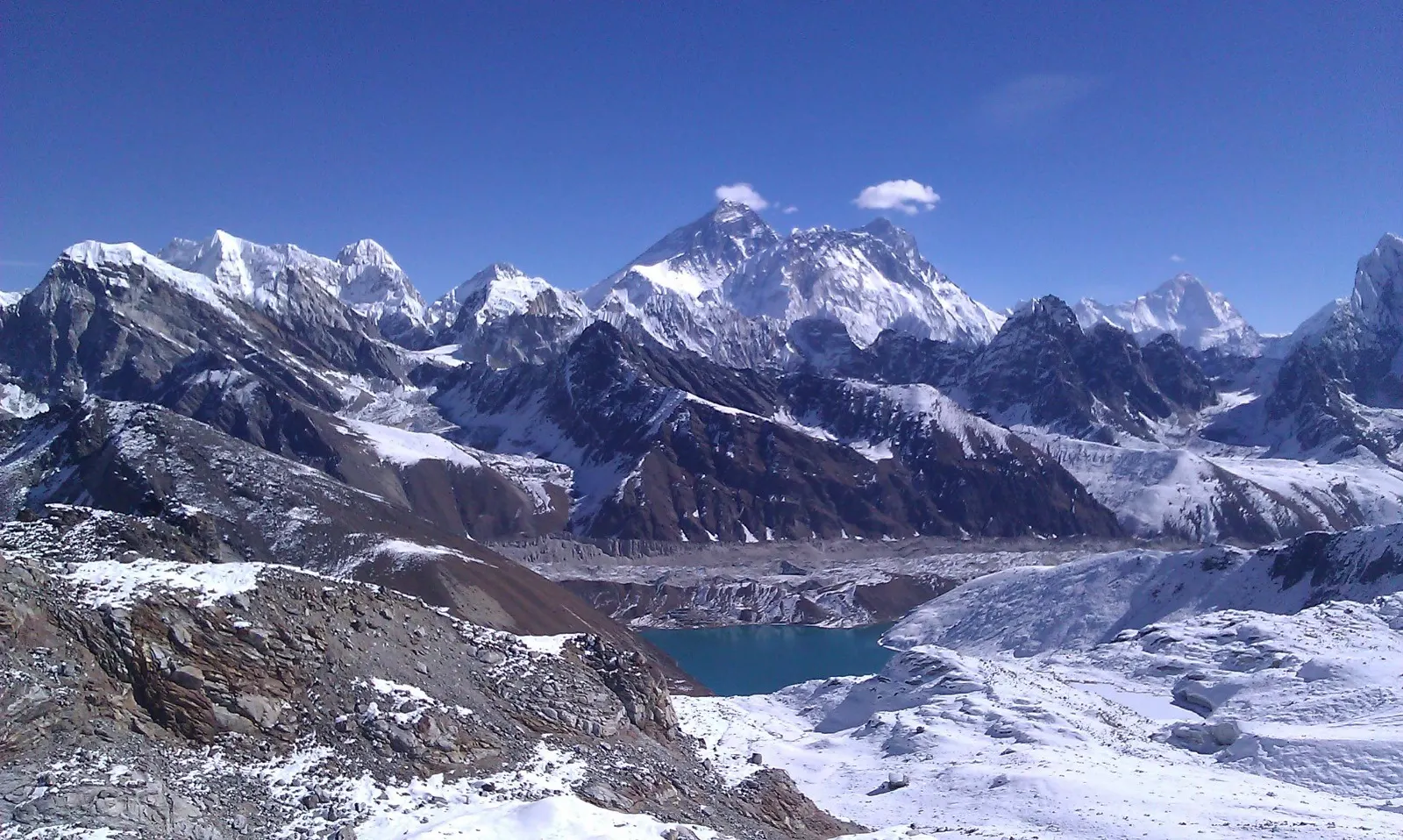
Nepal is home to eight of the world’s fourteen peaks that rise above 8,000 meters. These are called the eight-thousanders.
| Mountain | Elevation | Notes |
|---|---|---|
| Sagarmatha / Mount Everest | 8,848.86 m | Highest point on Earth; Nepal–China border |
| Kanchenjunga | 8,586 m | Third-highest mountain in the world; Nepal–India border |
| Lhotse | 8,516 m | Connected to Everest by the South Col |
| Makalu | 8,485 m | Southeast of Everest |
| Cho Oyu | 8,188 m | Nepal–China border; considered one of the most accessible eight-thousanders |
| Dhaulagiri I | 8,167 m | West of Annapurna |
| Manaslu | 8,163 m | The “Mountain of the Spirit” |
| Annapurna I | 8,091 m | Famous for beauty and technical difficulty |
The 2020 joint survey by Nepal and China confirmed the official height of Everest as 8,848.86 meters. The older figure of 8,848 meters is still widely used, but the new measurement is the most accurate current reference.
Nepal also has more than 1,300 named peaks above 6,000 meters. This density of high mountains is unmatched in a country of Nepal’s size.
How Elevation Shapes Your Trip
Understanding Nepal’s elevation is not just about geography. It is about how you will feel.
As elevation increases, air pressure decreases. This means there is less oxygen available. At Everest Base Camp, the air pressure is roughly half of what it is at sea level. That does not mean you cannot breathe, but it does mean your body has to work harder.
The most important rule for trekking in Nepal is to ascend gradually. Above about 3,000 meters, it is wise to limit sleeping-altitude gains to roughly 300 to 500 meters per day, and to include rest days on longer routes.
Altitude sickness, also called Acute Mountain Sickness, can affect anyone regardless of fitness. Symptoms may include headache, nausea, dizziness, fatigue, and poor sleep. The best prevention is a slow ascent, proper hydration, and not ignoring early symptoms.
This is why the elevation of specific places matters. A trek from Lukla to Everest Base Camp is not just a walk; it is a physiological journey from 2,845 meters to 5,364 meters. The itinerary must respect that change. The same applies to the Annapurna Circuit, which crosses Thorong La at 5,416 meters.
Common Misconceptions About Nepal Elevation
1. “Nepal is entirely high mountains.”
No. A large part of Nepal is low-lying Terai. The country includes tropical forests, farmlands, and flat plains near sea level.
2. “Kathmandu is at high altitude.”
Not really. At about 1,400 meters, Kathmandu sits at a moderate elevation. Most travelers do not experience altitude symptoms there.
3. “You can see Everest from Kathmandu.”
Usually not. Kathmandu is in a valley, and Everest is about 160 kilometers east. On extremely clear days, other ranges may be visible, but Everest requires a mountain flight or a trek.
4. “The average elevation is the most useful number.”
The commonly cited average of about 2,565 meters is mathematically interesting, but it does not tell you what you need to know. Your specific route matters far more.
5. “Higher elevation always means colder weather.”
Not always. The Terai can be extremely hot, while the mid-hills can be pleasant. The high Himalaya is cold, but the lower parts of Nepal are not.
From Curiosity to Experience: Where Wonder Hikes Nepal Fits In
Nepal’s elevation is not just a set of numbers. It is the reason the landscape changes so dramatically, why the cultures vary from the Terai to the high Himalaya, and why trekking here feels different from almost anywhere else.
If you have found this guide because you are thinking about experiencing Nepal in person, the next step is to think practically about which elevation range suits you. Some travelers want the challenge of Thorong La or Everest Base Camp. Others prefer the comfort of the mid-hills or the wildlife of the Terai.
At Wonder Hikes Nepal, we plan treks and journeys around the reality of Nepal’s terrain—including acclimatization, route pacing, and the right destination for your experience level. Whether you are drawn to the high Himalaya or want to see how the country changes as it rises from the plains, the right plan makes all the difference.
Frequently Asked Questions About Nepal Elevation
1. What is the elevation of Nepal?
Nepal ranges from about 59 meters above sea level in the Terai to 8,848.86 meters at the summit of Mount Everest.
2. What is the highest point in Nepal?
The highest point is Mount Everest, known as Sagarmatha in Nepali, with an official height of 8,848.86 meters.
3. What is the lowest point in Nepal?
The lowest point is around 59 meters above sea level, near Kechana Kawal in Jhapa District, close to the Indian border.
4. What is the average elevation of Nepal?
The commonly cited average elevation is about 2,565 meters, though this figure hides the extreme contrast between the Terai and the high Himalaya.
5. What is the elevation of Kathmandu?
Kathmandu sits at approximately 1,400 meters above sea level.
6. What is the elevation of Pokhara?
Pokhara is around 827 meters above sea level, making it lower and warmer than Kathmandu.
7. How high is Mount Everest?
Mount Everest is 8,848.86 meters high, as confirmed by the 2020 Nepal–China joint survey.
8. What is the elevation of Everest Base Camp?
Everest Base Camp on the Nepal side sits at about 5,364 meters.
9. Is Nepal entirely mountainous?
No. The southern Terai is flat and low-lying, in places only about 60 to 100 meters above sea level.
10. How does Nepal’s elevation compare to other countries?
Nepal has one of the most extreme vertical ranges relative to its size. It rises from near sea level to the highest point on Earth in under 200 kilometers.
11. Does elevation affect altitude sickness in Nepal?
Yes. Above about 3,000 meters, lower oxygen levels can cause altitude sickness. Gradual ascent and rest days are important.
12. What is the elevation of Lukla?
Lukla is at about 2,845 meters above sea level.
13. What is the elevation of Annapurna Base Camp?
Annapurna Base Camp sits at around 4,130 meters.
14. Why is Nepal’s elevation so varied?
Nepal sits where the Indian and Eurasian tectonic plates collide. This collision created the flat Terai, the mid-hills, and the towering Himalaya.
15. Do I need to worry about altitude in Kathmandu?
For most people, no. Kathmandu’s elevation of about 1,400 meters is not typically high enough to cause altitude sickness.